Ready to explore this trail?
View Trail Map in AppPath Type
Point to Point
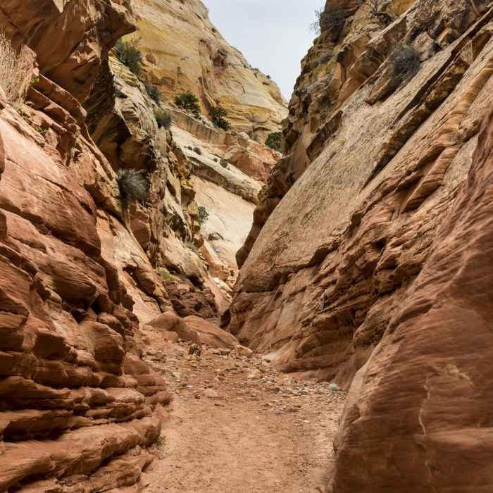
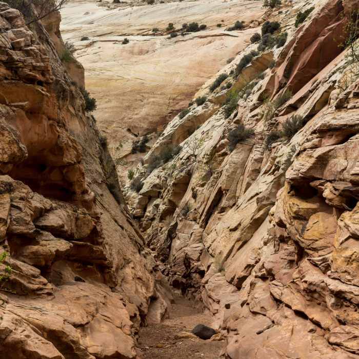
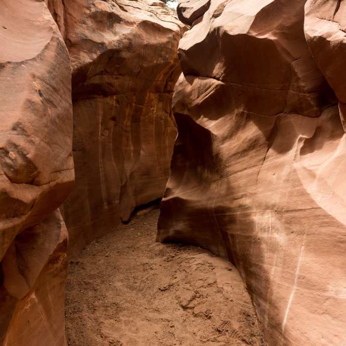
From the Sheets Gulch Parking Area, work your way south on the obvious path that crosses a low divide, drop into Sheets Gulch, and head southwest (right). There may be a little standing water or wet sand at the start, but the wash will soon dry up. The first 1.25 miles to a canyon junction (stay right or west) is open and flat, with scattered cottonwoods and tamarisk. The canyon then tightens to a good narrows section that includes a short, shallow, and sinuous slot with minor chockstones. About 2.25 miles from the road, visitors will encounter a good 500-foot long slot that eventually ends at angled walls.
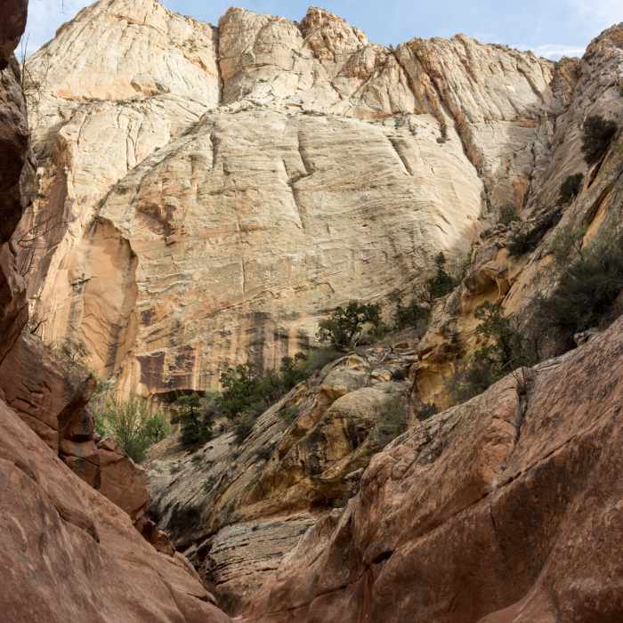
Until it is rearranged by the next big flood, Sheets Gulch is easy going, with alternating stretches of narrows and slightly wider, but still deep and impressive gorges. At places, the Navajo is eroded into steep, sweeping slopes. Exposed pieces of black petrified wood from the Chinle Formation are increasingly common farther up Sheets Gulch. The slots are generally a little less impressive after the initial group, but are still interesting, with enough chockstones blocking the path to provide some upper body exercise.
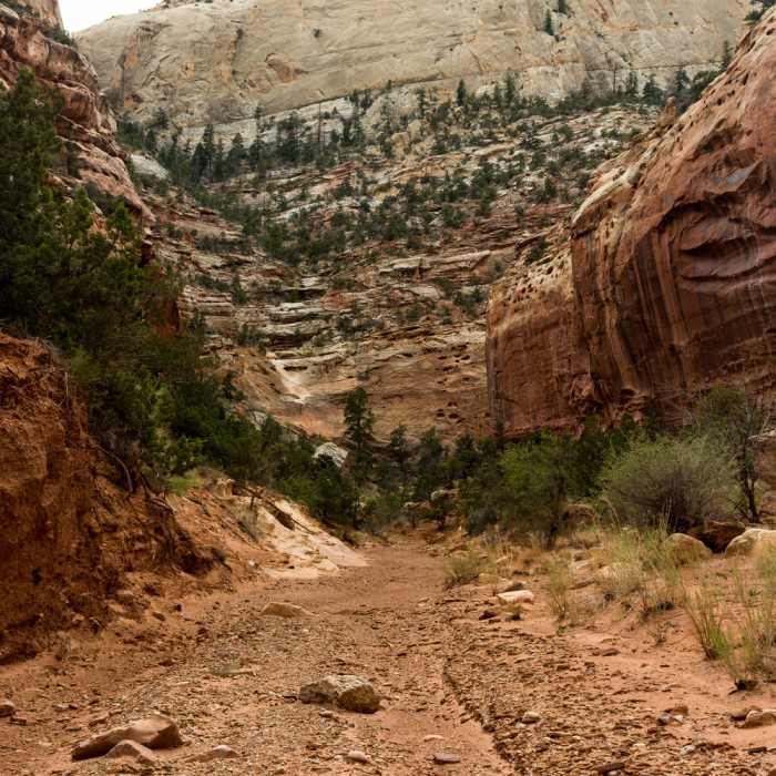
At the 4.5-mile mark, an easy 8-foot high boulder is, as of this writing, a minor obstacle. A third of a mile beyond, the character of Sheets Gulch changes quite dramatically. The canyon curves to the right (northwest) and the floor widens and straightens, but the most noticeable difference is the appearance of Douglas firs on the south wall.
The next two miles are mellow and easygoing, but they do make the round trip almost 14 miles, which is a very long day for many. The scenery is good, especially in the sheer Wingate Sandstone, but there is no shame in turning around before fatigue turns a nice outing into a forced march.
As mapped, Sheets Gulch extends for 7 miles one way, but the early turnaround point is indicated with an information symbol.
This content was contributed by author Rick Stinchfield. For a comprehensive hiking guide to Capitol Reef National Park and to see more by Rick, click here.
No Condition Reports
Contributors

