Ready to explore this trail?
View Trail Map in AppTable Rock Road doesn't show up on Google Maps (as of 2020) so keep a keen eye out for the well signed turn off of Middle Fork Road. The road can be bumpy and narrow but should be passable by any car.
Path Type
Point to Point
This trail begins at the end of Table Rock Trail at a three-way intersection with Image Creek Trail. This intersection is unmarked and Table Rock Trail pretty much just becomes Summit Trail so you may not even notice that you've changed trails. Summit Trail meanders through the nice old-ish forest (burned in the 1880s) while steadily gaining elevation at a moderate clip. At about a half mile you'll encounter a rocky section of trail and the first very cool basalt spires.
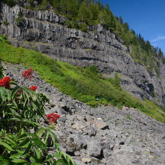
The trail climbs around these. At about one mile the trail emerges from the woods onto a large talus field at the base of Table Rock's impressive columnar basalt cliffs. This section requires careful footing and a little route-finding. Keep an eye out for pika too. After the talus field the trail wraps around Table Rock, passes an almost imperceptible intersection with Saddle Trail and begins climbing the southwestern face of Table Rock on well-built switchbacks.
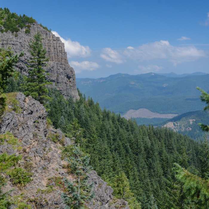
Finally you'll emerge along the edge of the cliff face to enjoy excellent views of Jefferson, Hood, the central cascades, and all the way to Rainier and the Sisters on clear days. There are a few well-sheltered campsites at the top too.
Some Issues
Looking for more condition reports?
Contributors

