Ready to explore this trail?
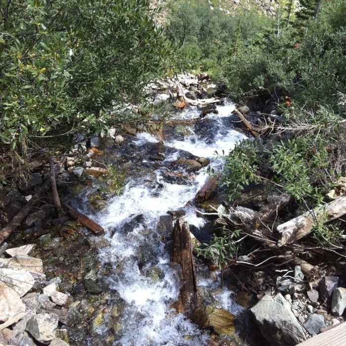
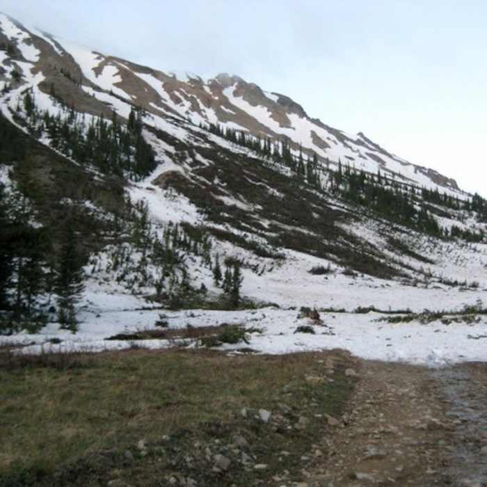
View Trail Map in AppThere is often snow on the road well into July. The lower section of the road receives heavy use, especially on the weekends. This road is very rugged and in some sections is located in a stream. It climbs well above the timberline and continues for a mile or so through fields of rocks tinted with lichen of various colors. This road was built to serve the Montezuma Mine. Debris from the operation of the mine may be seen along the way.
Path Type
Point to Point
Travel 1/2 mile west on Highway 82 from Aspen to the Roundabout. Go around the Roundabout and turn right onto Castle Creek Road. The beginning of this route starts about 2 miles beyond Ashcroft.
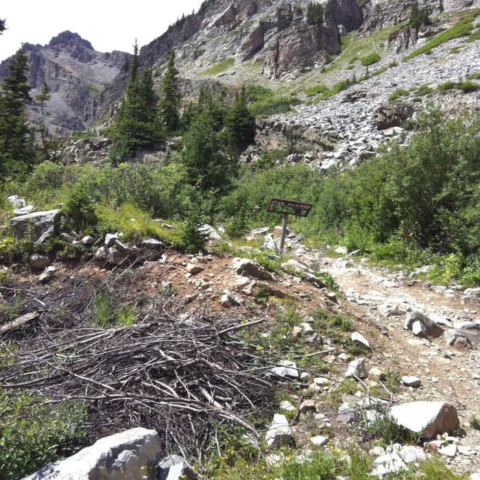
The first 1/2 mile is fairly level, then it begins to climb. There are some steep uphills and at the 1 1/2 mile mark there is a foot bridge, here you'll need to ford the stream. The road continues to climb through spruce groves crossing a vehicle bridge and immediately becoming steeper and more rugged. Three miles up the road, the Mace cabin is passed on the right. A quarter mile past the cabin the road to Pearl Pass forks steeply to the left. At this fork bear right. Keeping right, the road soon climbs some steep, continuous switchbacks. The road is very narrow and rugged in some areas. It ends at a parking area at the base of Castle Peak.
No Condition Reports
Contributors

