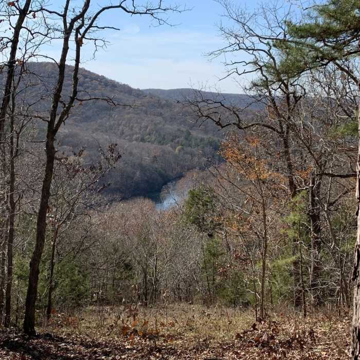
Near Centennial Bluff Trail
The current river from the top of the Centennial Trail.

Looking for more photos?

View All Photos
Driving Directions
Hike Trail

Centennial Bluff Trail

3.0 (2 Ratings)
This is a short bluff trail near the center of Current River State Park.
1.1
mi
Distance
269
ft
Gain
moderate
Difficulty
ViewsWildflowers

Route Details

Flatter
Steeper
1.12mi
Distance
269ft
Elevation Gain
277ft
Elevation Loss
20%
Max Grade
997ft
High Point
719ft
Low Point
Path Type
Point to Point
Description
The Centennial Bluff Trail is named in celebration of the centennial of the Missouri State Parks. This trail follows a ridgetop setting with post oaks, black oaks, and shortleaf pine trees. Notably, fall-blooming asters and goldenrods can be found here in late summer lasting into October. In the spring, wildflowers such as hepatica and rue anemone are common sights. Here a great view of the Current River can be found. This is a naturally surfaced trails and includes some rocky steps. Interpretative panels along the way detail the history of the Missouri State Park system. This trail was named in recognition of the centennial of Missouri State Parks.

Route Conditions

Report Conditions
No Condition Reports
Report Conditions

Nearby Hike Routes

Alley Spring Mill Loop

Hike Route

Alley Spring Mill Loop

Birding
moderate
1.61 mi
+355 ft
Stegall Mountain Fire Tower

Hike Route

Stegall Mountain Fire Tower

Birding
strenuous
2.87 mi
+332 ft
Council Bluff to Brushy Creek Lodge

Hike Route

Council Bluff to Brushy Creek Lodge

Lake
moderate
39.2 mi
+3,876 ft
Big Piney Loop Hike Via Cutoff

Hike Route

Big Piney Loop Hike Via Cutoff

Fall Colors
strenuous
10.58 mi
+1,093 ft
Grand Gulf State Park

Hike Route

Grand Gulf State Park

Views
easy
0.78 mi
+71 ft
Natural Bridge Loop

Hike Route

Natural Bridge Loop

Birding
strenuous
2.42 mi
+413 ft
Contributors
Missouri Hiker
