Ready to explore this trail?
View Trail Map in AppPath Type
Point to Point
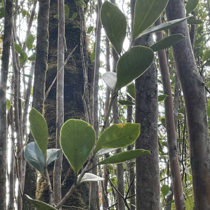
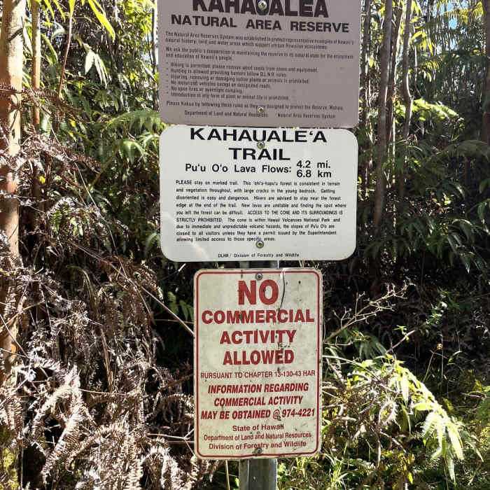
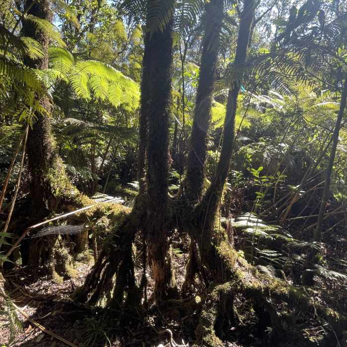
The trail begins at the dead-end of Captain's Drive a.k.a. Cook's Drive in Pahoa (CVWH+54, Pahoa, HI 96778) and leads one through a lush rain forest to the outskirts of hardened pahoehoe lava flows from the 2018 Pu'u O'o (and likely earlier) eruption(s). The first half is just a nice stroll through the most beautiful rainforest you can imagine. Lots of 'ohi'a trees that are home to some of the Hawai'i's singing birds so listen carefully as you walk. Lush green ferns, other native shrubs, and occasional velvety moss add to the experience.
About half way in, there is a State of Hawaii Kahauale'a trail emergency helipad, so beware. The second half of the trail is extremely narrow; dense ferns, frozen lava rocks, and occasional narrow but deep cracks make walking it an adventure even in the absence of significant elevation gain. To make things even more interesting, the trail is scarcely marked and as the forest reclaims its territory, becomes harder and harder to follow: watch for pieces of colored tape on the trees and bushes and re-trace your steps to the nearest one if you are lost (and, needless to say, hiking with a GPS is a good idea especially since the reception in the area is awesome).
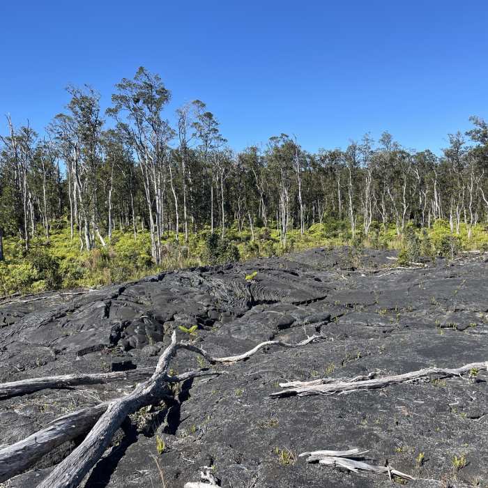
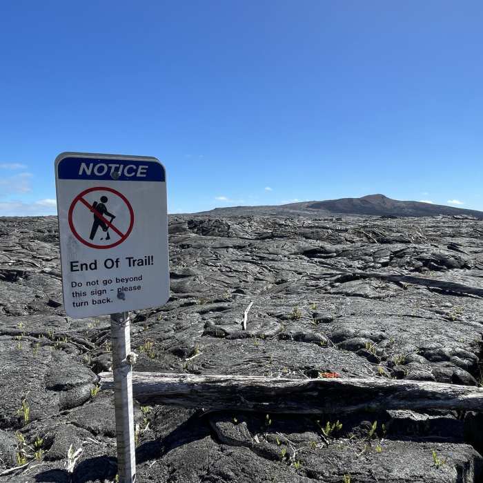
The trail ends at an abrupt edge of the forest with the vast sight of Pu'u 'O'o and the hardened pahoehoe lava. The lava fields are majestic and fragile; on them, you'll see new grass, shrubs and flowers (e.g. a wild orchid) breaking through the cracks. There is a sign suggesting that you turn back here although theoretically, one could walk farther towards the vent, conditions permitting. In any case, make a note of the place in the forest where the trail exits it, it can be hard to find the return path even if you walk away from it a few dozen yards.
Give yourself enough time to hike back to your car and be careful on the lava rocks and slippery mud, especially since you are more tired on the way back. In fact, it is recommend that this trail is taken in the early morning for a return in the early afternoon.
The start of the trail is a guava tree thicket (http://the3foragers.blogspot.com/2012/01/wild-edibles-in-hawaii-common-guavas.html): this species is invasive in Hawaii but when in season, the fruit is quite delicious, treat yourself to one or two as you return to the trailhead, you deserve it. However, for the reason above, make sure to not carry the seeds anywhere in any form.
No Condition Reports
Contributors

