Ready to explore this trail?
View Trail Map in AppThe trail starts at the Gwedat'sih Campground on Chilko Lake, in Tsilos Provincial Park managed by the Xeni Gwet'in First Nations Government. It has 8 camp sites and the main camping season is typically May 19 to September 1 (but can vary annually). Fees are $18 CDN a night.
Path Type
Point to Point
Follow the gravel road used to access the campground about 200 m (0.1) mi northeast to where the Tullin Mountain Trail reaches the road. If you get to Bear Camp (a private resort), you've gone too far. There is no sign at the trailhead, but the trail is obvious and marked with orange blazers.
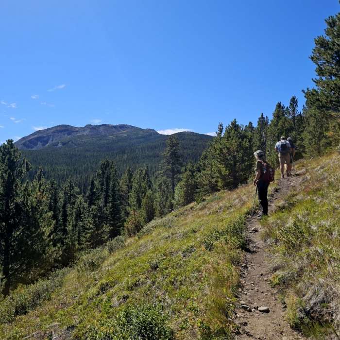
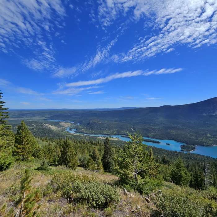
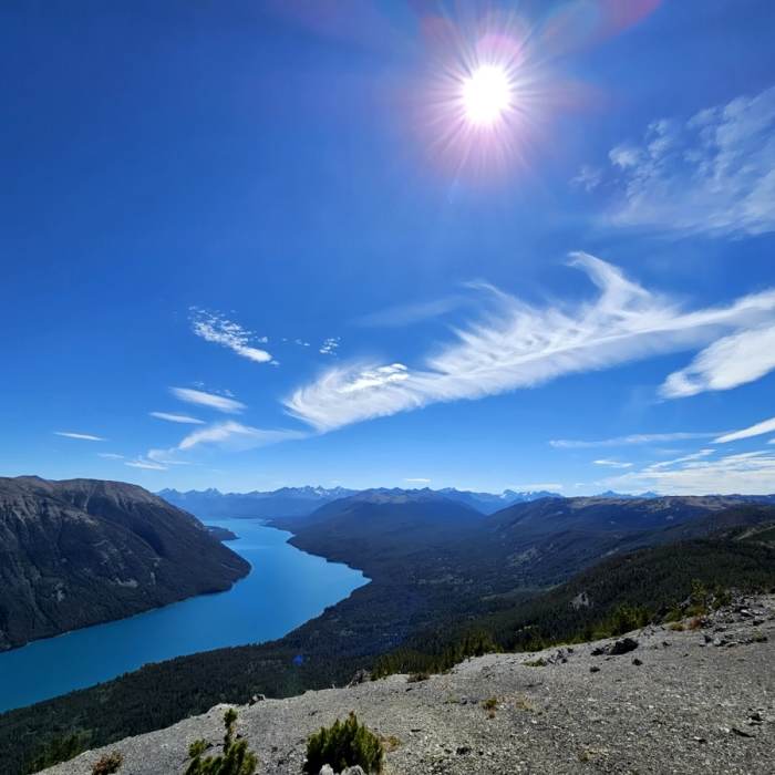
The trail begins climbing moderately at first and then climbs steeply (very steeply) until you're about 3.2 km (2 mi) from the road. There are no switchbacks. Much of the first 3.2 km (2 mi) or so are in the trees but great views of Chilko Lake become available as you climb higher.
Past 3.2 km (2 mi), the grade eases some and stays relatively easy as you move around Tullin to its north and then west side. From here, you have a big view of the Potato Range to the west.
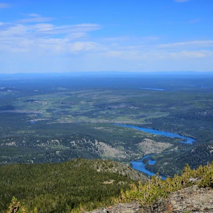
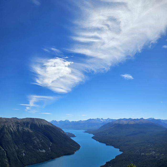
The trail continues on around to Tullin's west ridge at an easy gradient. There are great views of Chilko Lake from this ridge. Once on this ridge, the gradient steepens again and the final push to the summit is on moderately steep terrain. A rock cairn marks the summit from which you have big views in all directions.
No Condition Reports
No Nearby Hike Routes
Contributors

