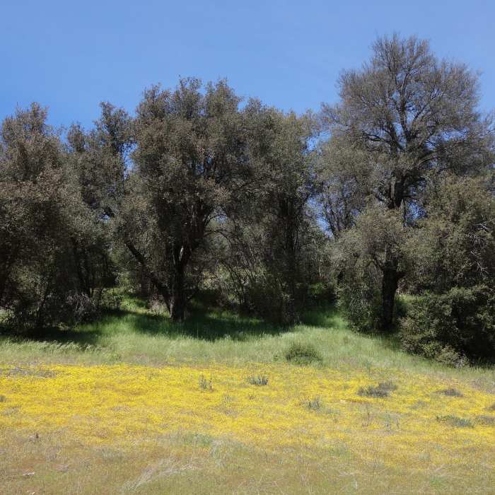
Near Monument Trail
Burst of yellow in Cuyamaca Rancho SP after a wet winter.

Looking for more photos?

View All Photos
Driving Directions
Hike Trail

Monument Trail

3.0 (1 Rating)
This trail is the most direct route to Airplane Monument, site of a 1922 biplane crash.
1.4
mi
Distance
740
ft
Gain
moderate
Difficulty
Views

Route Details

Flatter
Steeper
1.45mi
Distance
740ft
Elevation Gain
0ft
Elevation Loss
25%
Max Grade
4,786ft
High Point
4,047ft
Low Point
Path Type
Point to Point
Description
Monument Trail is so named because it is the most direct route to Airplane Monument, a Liberty 12-cylinder aircraft engine mounted on stones. The engine is from a DH-4B biplane that crashed on December 7, 1922, killing both the pilot and his traveling companion. The trail is a modest climb that offers some good views. Continue 0.1 miles after the junction with the West Mesa Loop to visit the Airplane Monument. The monument is found on the west side of the trail where the Info symbol is located.

Route Conditions

Report Conditions
No Condition Reports
Report Conditions

Nearby Hike Routes

Airplane Monument Loop

Hike Route

Airplane Monument Loop

Views
moderate
4.63 mi
+914 ft
West Mesa Loop

Hike Route

West Mesa Loop

Views
moderate
6.59 mi
+1,128 ft
Cuyamaca Peak

Hike Route

Cuyamaca Peak

Birding
moderate
5.59 mi
+1,646 ft
Stonewall Peak Loop

Hike Route

Stonewall Peak Loop

Birding
moderate
5.15 mi
+1,082 ft
Stonewall Peak

Hike Route

Stonewall Peak

Lake
easy
1.92 mi
+869 ft
Minshall Trail to Stonewall Mine Loop

Hike Route

Minshall Trail to Stonewall Mine Loop

Lake
easy
3.31 mi
+193 ft
Contributors
Matthew Kidd
