

Ready to explore this trail?
View Trail Map in AppPath Type
Point to Point
The Palm Canyon Trail starts at a crossroads, about .25 miles up the road after entering Palm Canyon Campground. This is also very close to the north end of the Visitor Center Interpretive Trail.
From its trailhead, the first half mile of Palm Canyon Trail crosses the shrub covered Palm Canyon Campground. The trail then crosses a popular parking area used by hikers of the Palm Canyon Loop.
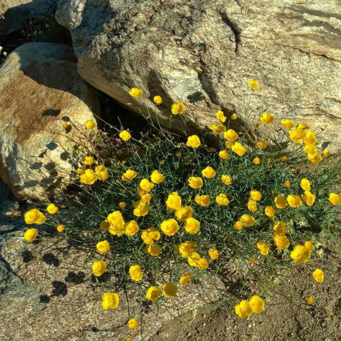
After crossing the parking area, follow Palm Canyon Trail northwest as it heads towards the mountains of Palm Canyon. Here, the trail crosses a flat, open area. It is a rock strewn, sandy trail with low vegetation. In the spring, the vegetation is green with an abundance of flowers - very pretty. Brittlebush (yellow flowers) is everywhere. There are also several other yellow flowered bushes, desert dandelions, and other low, flowering shrubs.
About a mile from its trailhead, Palm Canyon Trail bends to the right and enters the canyon. A steep, brush covered hillside, the canyon "wall", rises to the right of the trail. Tall stick-like ocotillos join the mix of vegetation. In the spring, the ocotillo stems become dark green, with orange tipped ends - the ocotillo blooms. About 1.5 miles from the trailhead, the trail turns left and crosses the stream that runs down the canyon. If one looks up the stream (to the right), in the distance, one can see the California fan palms of the oasis, about a half mile away.
After crossing the stream, the trail turns right and follows the stream as it heads towards the oasis. The canyon walls rise steeply on both sides of the trail, from here to the oasis. Just after crossing the stream and turning right, the trail enters a short stretch of relatively dense vegetation, made possible in the desert, by the stream waters. The trail soon emerges from the vegetation, and becomes much rockier, with areas of large boulders. In places it is hard to tell where the trail goes. Look for occasional arrows that mark the trail.
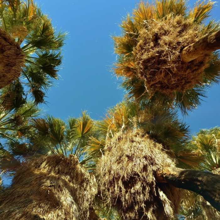
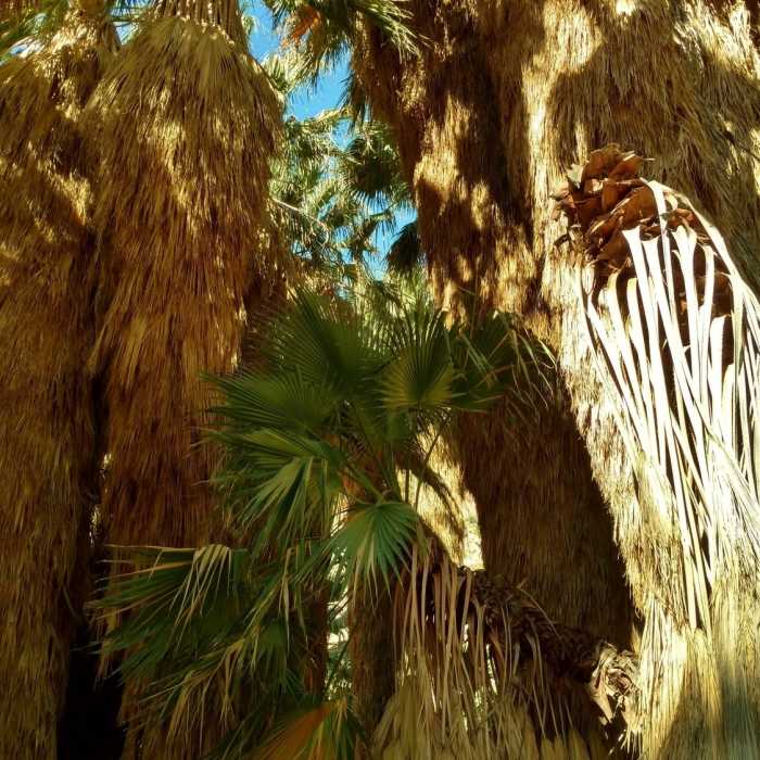
For .25 miles after crossing the stream, the stream is to the right of the trail. In other words, look for the trail on this side of the stream. The trail then crosses the stream again, and follows the stream, with the stream now to the left of the trail. After about .15 miles on this other side of the stream, just before the oasis, the trail crosses back over the stream, and enters the shaded oasis. At the oasis, there is a wonderful, cool shaded area in among the towering California fan palms.
No Condition Reports
California Hiking and Riding Trail: Hellhole Canyon
California Hiking and Riding Trail: Hellhole Canyon
Contributors

