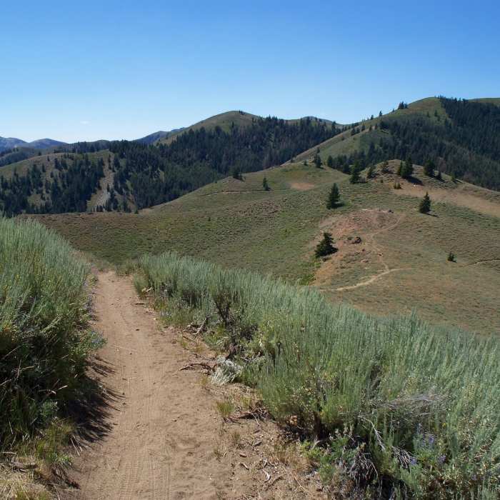
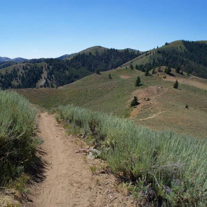
Near Mahoney Ridge Trail (aka Cow Creek Connector)
A beautiful day out here is hard to beat!
Near Mahoney Ridge Trail (aka Cow Creek Connector)
A beautiful day in Greenhorn Gulch is hard to beat!

Looking for more photos?

View All Photos
View Map
Driving Directions
Hike Trail
Buy Now View in 3D

Mahoney Ridge Trail (aka Cow Creek Connector)

3.0 (1 Rating)
Beautiful views, great wildflowers, and an amazing trail.
3.3
mi
Distance
1,115
ft
Gain
moderate
Difficulty
ViewsWildflowers

Route Details

Flatter
Steeper
3.31mi
Distance
1,115ft
Elevation Gain
567ft
Elevation Loss
20%
Max Grade
7,033ft
High Point
6,173ft
Low Point
Path Type
Point to Point
Description
This trail makes a nice shorter loop with Cow Creek Trail, or it can be used as an alternative to the Mahoney Butte Trail #851 in a larger loop. The Mahoney drainage is some of the most intensely burned from the Castle Rock fire of 2007. The views of the Pioneer Mountains from the top are outstanding and users are rewarded with some beautiful lupine meadows at the top.

Route Conditions

Report Conditions
No Condition Reports
Report Conditions

Nearby Hike Routes

Bald Mountain Trail

Hike Route

Bald Mountain Trail

Views
strenuous
5.12 mi
+3,267 ft
Proctor Mountain Loop

Hike Route

Proctor Mountain Loop

Fall Colors
moderate
1.06 mi
+13 ft
Proctor Mountain Loop via Corral Creek

Hike Route

Proctor Mountain Loop via Corral Creek

Views
strenuous
9.84 mi
+2,794 ft
Chocolate Gulch Trail Loop

Hike Route

Chocolate Gulch Trail Loop

Birding
moderate
3.65 mi
+820 ft
Driveway Gulch Hike

Hike Route

Driveway Gulch Hike

Views
moderate
2.33 mi
+1,973 ft
Johnstone Creek Hike

Hike Route

Johnstone Creek Hike

Fall Colors
moderate
10.06 mi
+2,418 ft
Contributors
Jordan Carr
