Ready to explore this trail?
View Trail Map in AppPath Type
Point to Point
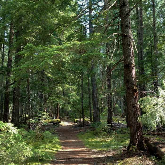
At the northern trailhead parking lot, cross the road and enter the forest of large cedars, hemlocks, and ferns. The trail descends gently the entire way down to Upper Priest Lake with some rolling terrain mixed in.
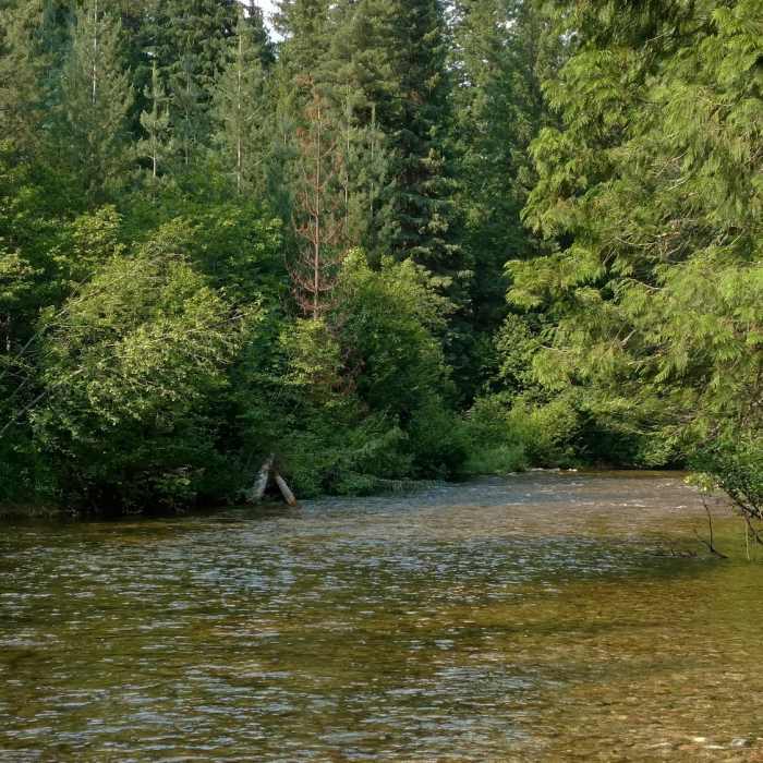
The trail crosses Trapper Creek at the north end of Upper Priest Lake. Here it meets the Idaho Department of Lands Idaho Trail #58. For the rest of its length Upper Priest Lake Trail #302, and Idaho Trail #58 coincide. Trapper trail camp is also here where Idaho Trail #58 is picked up. See Idaho Trail #58.
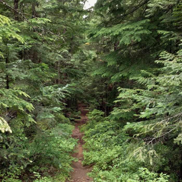
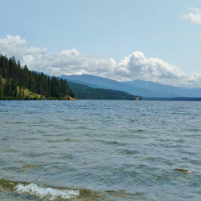
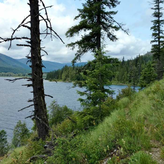
Leaving Trapper trail camp behind, the trail follows the lakeshore for about 1.5 miles before climbing to its high point in the forest, now with limited views of the lake. From here on the trail is in the pretty forest, but no more lake views. The trail then descends over a few switchbacks along a creek. This creek is then crossed at the 7.2 mile mark. At the 7.9 mile mark an unsigned path to the right is passed. This path is Geisinger Camp Spur, leading to Geisinger trail camp.
At about the 8.4 mile mark signs of civilization begin to appear as the trail break out of the forest. Descending in and out of the forest, a dirt road is crossed, and Caribou Creek is forded at the 8.7 mile mark. The trail soon pops out of the forest onto a dirt road. About 0.15 miles before the trail ends, it turns left onto a faint path in an open area and climbs to East Shore Road where it ends at a small parking area.
No Condition Reports
Contributors

