Ready to explore this trail?
View Trail Map in AppPath Type
Point to Point
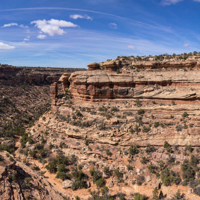
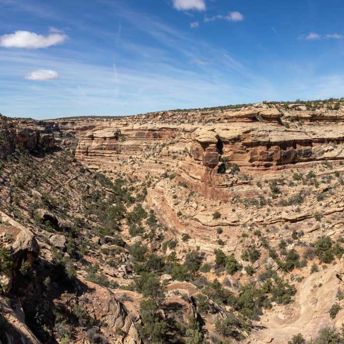
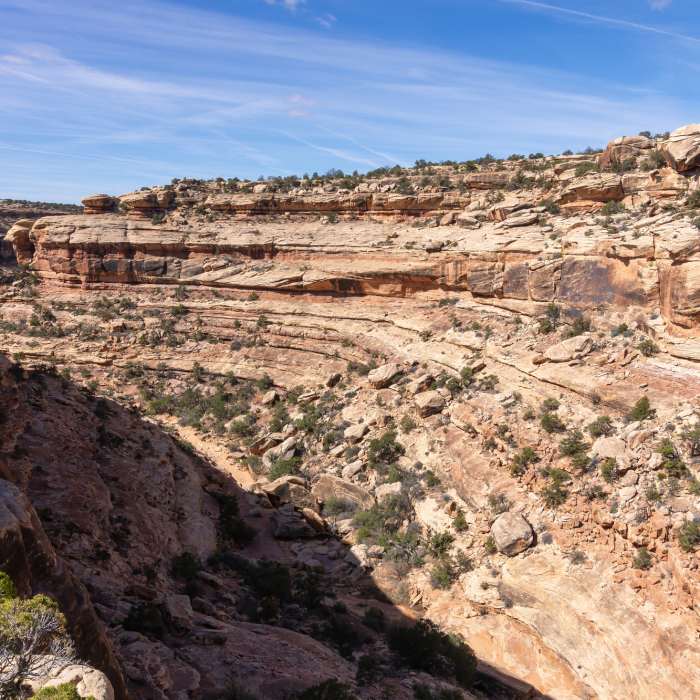
This route follows the headwaters draw of Slickhorn canyon all the way to the canyon proper. From the parking lot, follow the wash southwest, passing through thickets of tamarisk and rabbitbrush. The wash soon opens up affording you a gently descending hike over slickrock. The draw gradually develops into a larger canyon. You hit a smaller pour-off at about 0.7 miles that is easy to bypass on the left. A much bigger pour-off is ahead of you at around 1.7 miles. You can see into Slickhorn Canyon far below you with slickrock walls about 300 to 400 feet tall.
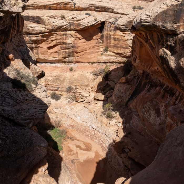
The way around the pour-off is on the left, a path rises up the ledge a few yards before the pour-off. From there, follow the rim on an overhanging cliff rewarding you with spectacular views of the first bend of Slickhorn Canyon. At about 2 miles, follow the cairns leading you down into the canyon over a series of ledges and overhanging cliffs. The path switches back and forth but is well marked with cairns. Once you reach the bottom of the canyon, turn left and proceed downcanyon through the wash.
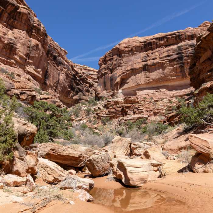
The wash can be narrow at times, but is typically easy to navigate with some boulder hopping along the way. Not before long, you'll also see small trails following the wooded benches which makes walking a little easier. At 3.8 miles, a balanced rock high on the canyon wall marks the confluence with the second fork. Continue further for another 0.4 miles to reach the third fork.
I did not travel beyond 3.8 miles but the trail continues to the river.
No Condition Reports
Contributors

