Near New Fork-Porcupine Trail #137
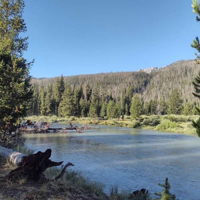
The Green River between Upper and Lower Green River Lakes.
Near New Fork-Porcupine Trail #137
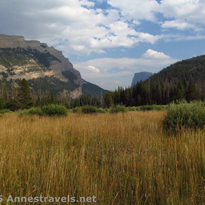
Squaretop comes into view at the northern end of the New Forks-Porcupine Trail #137
Near New Fork-Porcupine Trail #137
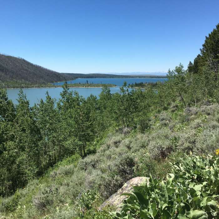
Looking out to the south to flats. Flat easy hiking here.
Near New Fork-Porcupine Trail #137
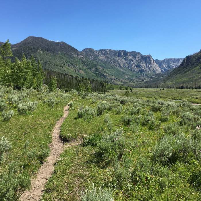
Hiking up into the valley.

Looking for more photos?

View All Photos
Driving Directions
Hike Trail

New Fork-Porcupine Trail #137

3.5 (2 Ratings)
A long, backpackable trail between New Fork Lake and the Highline Trail / CDT: Summit Lake to Union Pass (WY Sec. 15).
19.6
mi
Distance
3,383
ft
Gain
strenuous
Difficulty
Commonly BackpackedLakeRiver/CreekViewsWildflowersWildlife

Route Details

Flatter
Steeper
19.64mi
Distance
3,383ft
Elevation Gain
3,330ft
Elevation Loss
30%
Max Grade
10,705ft
High Point
7,831ft
Low Point
Path Type
Point to Point
Description
The trail departs from New Fork Lakes and ascends through New Fork Park. It then crosses Porcupine Pass and follows Porcupine Creek to T into the Highline Trail / CDT: Summit Lake to Union Pass (WY Sec. 15) between Upper Green River Lake and Lower Green River Lake. The full trail is long, and the terrain is tough, with much elevation gain along the way. However, if broken into smaller sections, the route can be a pleasant way to explore the area. Be sure to either arrange a shuttle back to your starting point or be prepared to make the return journey on foot.

Route Conditions

Report Conditions
No Condition Reports
Report Conditions

Nearby Hike Routes

New Fork - Double Top Loop

Hike Route

New Fork - Double Top Loop

Commonly Backpacked
strenuous
41.28 mi
+7,895 ft
Continental Divide Trail: Wyoming Section 15

Hike Route

Continental Divide Trail: Wyoming Section 15

Lake
moderate
33.27 mi
+3,708 ft
Titcomb Basin via Island Lake

Hike Route

Titcomb Basin via Island Lake

Commonly Backpacked
extreme
28.66 mi
+4,155 ft
Bonney Pass via Titcomb Basin

Hike Route

Bonney Pass via Titcomb Basin

Lake
extreme
19.58 mi
+4,994 ft
Photographers Point

Hike Route

Photographers Point

Family Friendly
moderate
9.33 mi
+1,034 ft
Pinedale-Dubois Traverse

Classic Hike Route

Pinedale-Dubois Traverse

Commonly Backpacked
extreme
44.69 mi
+7,528 ft
Contributors
Anne Travels
