Ready to explore this trail?
View Trail Map in AppAccess through DeLeon Springs State Park;
Path Type
Point to Point
DeLeon Springs is a popular State Park, especially when kids are out of school. In summers, the lineup can take hours. Chuck Lennon County Park nearby offers a short hiking loop but it isn't as well maintained.
Entrance fees vary by mode of transport and the number of people but will cost $6 for a typical family. The Florida State Parks Annual Pass is accepted.
Trails aren't frequently visited as the main attraction is swimming in the Springs. The water is 72 degrees F year-round, making for a great way to cool off after the hike.
The park is open year-round from 1 hour after sunrise to 1 hour before sunset.
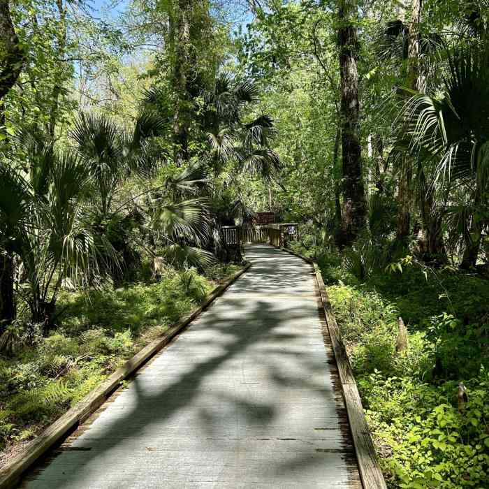
This trail is primarily a bi-directional paved path wider than a typical sidewalk. There are three off-shoots along this path:
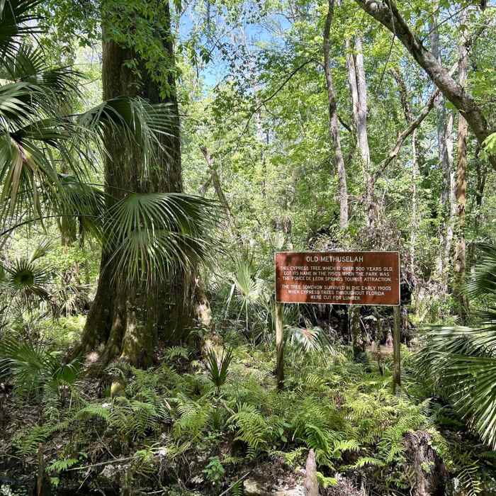
1) Old Methuselah (0.1 mi)is an out-and-back along a boardwalk ending at a 500+ year old Cypress tree. The boardwalk has been treated so it doesn't become slippery if wet.
2) Monkey Island is another out-and-back but is unpaved. It may be flooded a couple of days after heavy rain. Many cypress knees are along the trail offering trip hazards.
3) The third off-shoot is 4.8 miles long and has not been included in this route. It is recommended to visit the rangers before trekking off. Pack lots of water, especially in brutal Florida summers.
DeLeon Springs offers tracked mobility chairs for those who would otherwise be unable to venture into the serenity of natural Florida.
No Condition Reports
Contributors

