Ready to explore this trail?
View Trail Map in AppRich Mountain Road is closed in the winter.
Path Type
Point to Point
To reach the trailhead, you can either take the Rich Mountain Road from Cades Cove to the park boundary at Rich Mountain Gap or access the area through Dry Valley.
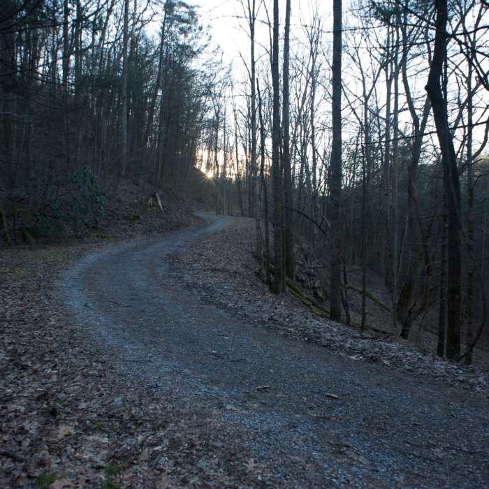
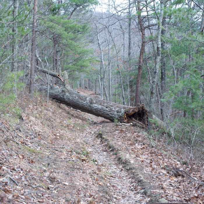
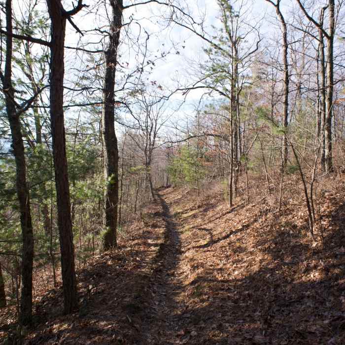
The Rich Mountain Trail begins to climb immediately as you make your way up Rich Mountain. You pass through Christmas ferns and pine-oak forests as you trek uphill. At .2 miles, you start moving away from Rich Mountain Road and continue climbing. Once you get .8 miles into your journey, you get views of the western end of the park, even though it is more than likely obstructed. At 1.2 miles you reach the park boundary with some partial views of Dry Valley. As you continue to move uphill, the sounds of Hesse Creek make their way to you as the creek gets closer to the trail. When you get to 1.9 miles, the creek meets the trail and a small cascade below the trail can be seen.
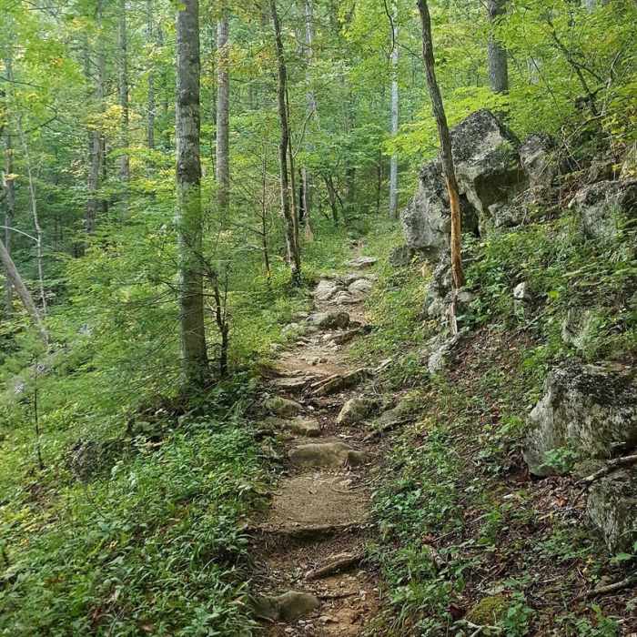
The trail now works its way through a cove as it continues uphill. It works its way back and forth across the creek for .25 miles, with rock hops being necessary to cross the water. The trail reaches the top and dries out when you enter Campsite 5 in a tiny cove on Double Mountain. For people spending the night, there is a small spring located about 100 yards downhill, marked by a trail sign. At this point, you can either return to your car, or go a little further and take the Indian Grave Gap Trail to drop into Cades Cove.
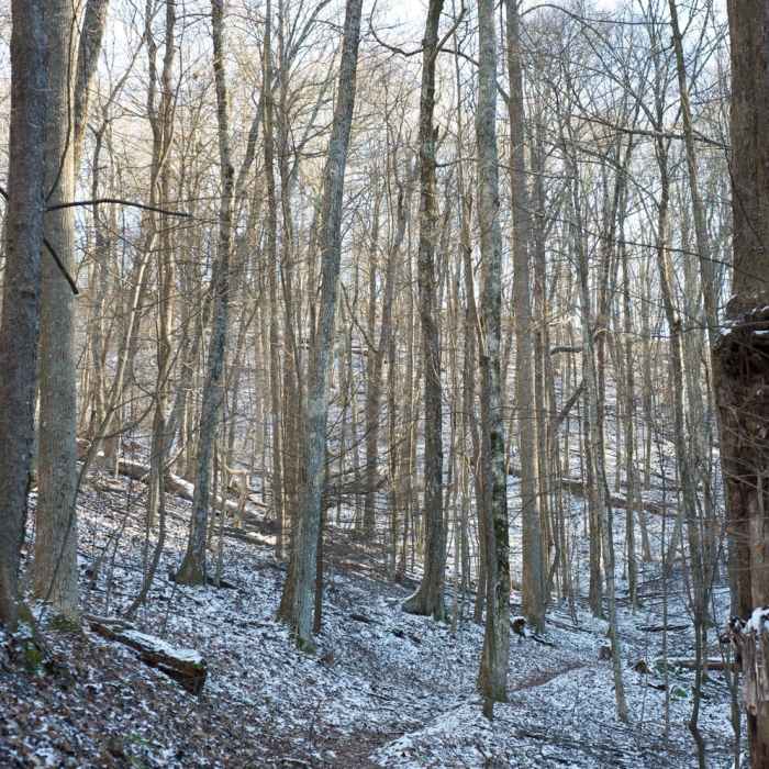
Unlike most trails in the Smokies which start out in cool, moist creek drainages and climb to dry ridge lines, this trail is the exact opposite. The bottom of the trail follows a dry ridge line until you reach 1.9 miles where it intersects the creek, after which the area becomes cool, shaded, and damp.
No Condition Reports
Contributors

