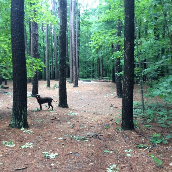
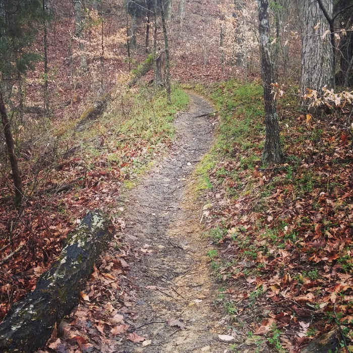
Near Red Trail
Jefferson Memorial Forest. 10 minutes from my home, hundred miles from anything!
Near Red Trail
Part of the second downhill section of the Red Trail.

Looking for more photos?

View All Photos
Driving Directions
Hike Trail

Red Trail

4.5 (10 Ratings)
A popular loop in the Jefferson Memorial Forest, with two steep climbs and excellent views.
4.7
mi
Distance
598
ft
Gain
moderate
Difficulty
Fall ColorsRiver/CreekViewsWildlife

Route Details

Flatter
Steeper
4.74mi
Distance
598ft
Elevation Gain
607ft
Elevation Loss
40%
Max Grade
876ft
High Point
630ft
Low Point
Path Type
Point to Point
Description
This loop trail starts in the parking lot of the JMF campground, goes south and follows close to the campground road for about a mile before cutting into the woods via an old service road. A sudden left off the road leads to several large, steep accents with exhilarating descents. Keep an eye out for two creek crossings on a normally small creek that swells quickly with rain.

Route Conditions

Report Conditions
No Condition Reports
Report Conditions

Nearby Hike Routes

Yost Ridge Lollipop Loop

Hike Route

Yost Ridge Lollipop Loop

Birding
moderate
4.12 mi
+704 ft
Cherokee Park Loop

Hike Route

Cherokee Park Loop

Birding
moderate
4.86 mi
+376 ft
Otter Creek Full Loop

Hike Route

Otter Creek Full Loop

Birding
strenuous
8.38 mi
+762 ft
Harrods Creek Park

Hike Route

Harrods Creek Park

Fall Colors
moderate
3.58 mi
+621 ft
Freeman Lake Loop

Hike Route

Freeman Lake Loop

Birding
moderate
7.05 mi
+134 ft
Route 666

Hike Route

Route 666

Birding
moderate
6.53 mi
+681 ft
Contributors
Nathan Muleski
