Ready to explore this trail?
View Trail Map in AppThis trail was closed in late August 2022 due to a prescibed forest management burn. Check conditions with Parks Canada - Banff. before going.
Path Type
Point to Point
So here is the GPX track (circa mid August 2022). Have FUN!
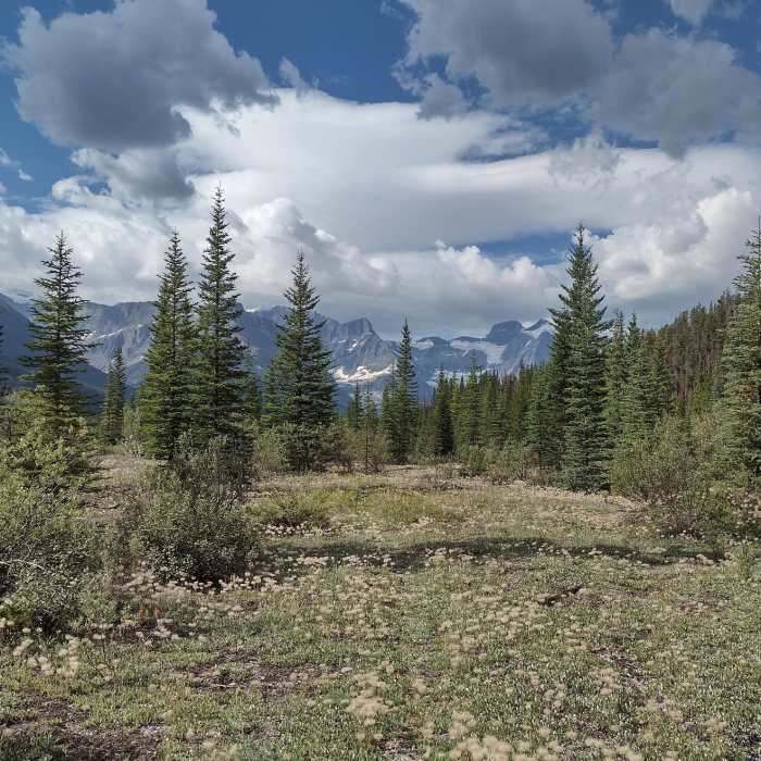
Seriously though, from the trailhead, the first 7.6 miles is on an overgrown fire road. It is easy to follow with only one creek crossing with a decrepit bridge, easily forded, and most of the deadfall has been cleared over the years. At the trailhead, the trail crosses the North Saskatchewan River on a very sturdy bridge. In the forest and heading southeast for the first 3.7 miles there are limited views.
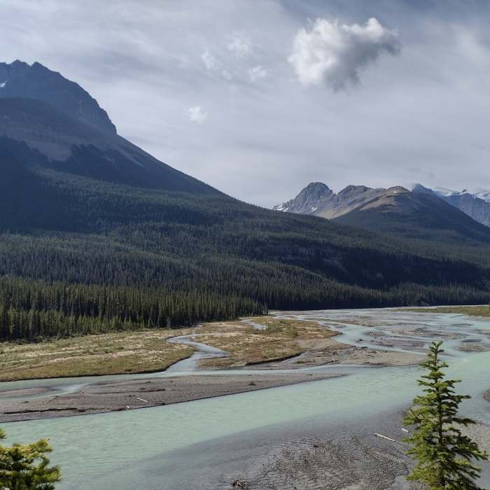
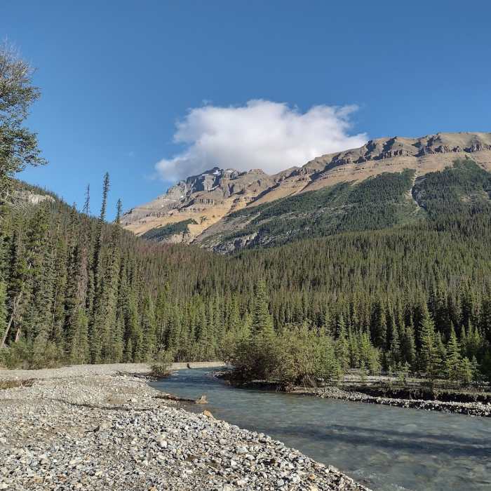
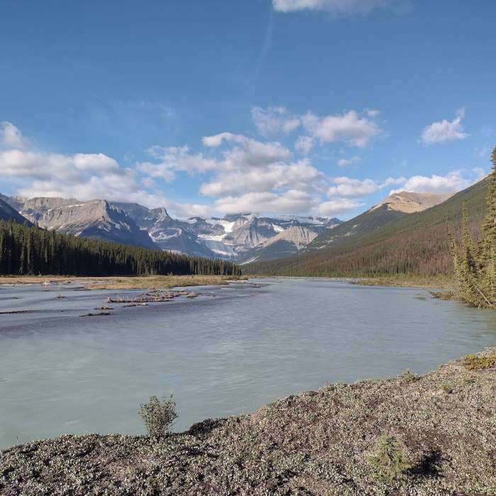
Then the trail veers right/west to follow the Alexandra River upstream. The views get better and better as the trail gets closer to the river. Much of this section is enough above the river that wonderful panoramic views unfold.
At the 7.6 mile mark, things get interesting - the fire road style trail goes straight down to the river for the first of several re-routes. There are two re-routes around washed out trail from here to Terrace Creek at the 8.5 mile mark. Look for faint side trails uphill, consult the GPX, and use all your other route finding skills, and common sense. The second washout re-route ends at about the 7.8 mile mark as it leads one down to a side channel.
Now you have to cross this side channel, start going cross country over the gorgeous river flats, heading to the obvious point of land upstream, and consult GPX. Two choices now - either find trail before the point and follow it to Terrace Creek, OR circle around the point to find Terrace Creek. At Terrace Creek there is an old outfitter cabin and nearby fire ring. Crossing Terrace Creek and going upstream to pick up the trail is another nice, bigger trail camp.
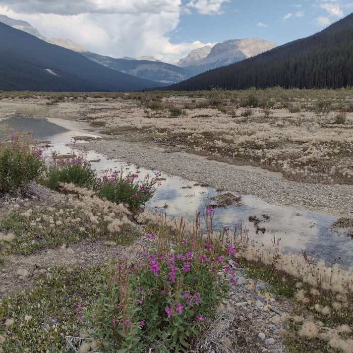
Leaving Terrace Creek behind, now at the 9.0 mile mark there is enough deadfall for the next 2.1 miles that the GPX track goes down onto the river flats for gorgeous, easy hiking now, although the trail is faint. And the trail does visit the forest for a short stretch around the 9.2ish mile mark.
At the 11.1 mile mark good trail re-appears and heads into the forest, crosses an easily fordable creek at the 11.5 mile mark, and continues in the forest. At the 12.3 mile mark the trail comes back down to the river flats for more beautiful, easy, faint trail hiking.
At the 13.1 mile mark, the trail re-enters forest, veers right/northwest, finds its way somehow across a small boggy area, and then ends at Castleguard River Patrol Cabin after 13.3 miles. From here one can pick up the Castleguard River Trail that goes all the way to Castleguard Meadows.
No Condition Reports
Emerald Triangle: Emerald Lake Lodge/Yoho Pass/Burgess Pass
Emerald Triangle: Emerald Lake Lodge/Yoho Pass/Burgess Pass
Contributors

