
Near B3 Fire Road
Apparently Box Turtles just do this for kicks
Near B3 Fire Road
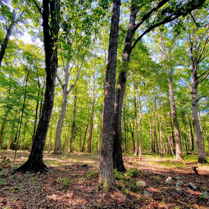
Old stand of oaks
Near B3 Fire Road
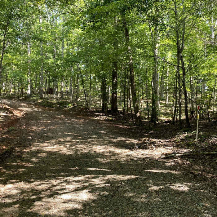
Heavy forest along the trail.
Near B3 Fire Road
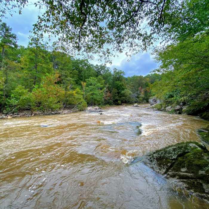
High water day on the Flat River

Looking for more photos?

View All Photos
View Map
Driving Directions
Hike Trail

B3 Fire Road

4.0 (1 Rating)
A rustic loop that head down to the Flat River.
1.1
mi
Distance
157
ft
Gain
moderate
Difficulty
BirdingFall ColorsRiver/CreekWildflowers

Route Details

Flatter
Steeper
1.1mi
Distance
157ft
Elevation Gain
197ft
Elevation Loss
15%
Max Grade
573ft
High Point
385ft
Low Point
Path Type
Point to Point
Description
Taking off from the B2 Fire Road, you head through recently harvested forest that has left the area thick with wild flowers. The first half of the trail is doubletrack covered with tall grass that has been pushed down by 4x4 passing though. Once you loop down towards the river the trail become singletrack that weaves in and out of mature forest at the edge of the now open field. After heading up hill through the forest you pop back out onto the B2 Fire Road.

Route Conditions

Report Conditions
No Condition Reports
Report Conditions

Nearby Hike Routes

Horton Grove Nature Preserve Loop

Hike Route

Horton Grove Nature Preserve Loop

Birding
moderate
5.81 mi
+360 ft
Little River 5+ Loop

Hike Route

Little River 5+ Loop

River/Creek
moderate
5.27 mi
+447 ft
MST: West Point to Pump Station

Hike Route

MST: West Point to Pump Station

River/Creek
moderate
8.69 mi
+499 ft
Ledge Creek Forest Conservation Area

Hike Route

Ledge Creek Forest Conservation Area

Birding
moderate
2.11 mi
+135 ft
Eno Outer Loop

Hike Route

Eno Outer Loop

Birding
moderate
6.88 mi
+1,022 ft
Creedmoor Cross City Trail

Hike Route

Creedmoor Cross City Trail

River/Creek
moderate
4.48 mi
+222 ft
Contributors
Russell Hobart
