Near Arapaho Pass Trail
Early morning on the Arapaho Pass trail.
Near Arapaho Pass Trail
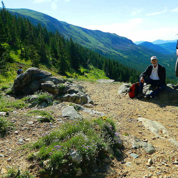
Summer flowers were crazy epic.
Near Arapaho Pass Trail
This panorama looks down to the valley/trailhead, and up toward Arapahoe Pass.
Near Arapaho Pass Trail
Clyde Inman and Larry W Jones. Fourth Of July Mine Trail.
Near Arapaho Pass Trail
Working our way over one of the soggier areas of Arapaho Pass Trail.

Looking for more photos?

View All Photos
View Map
Driving Directions
Hike Trail

Arapaho Pass Trail

4.5 (19 Ratings)
Climb through woods and open meadows on this pass-gaining slog of a route.
13
mi
Distance
2,036
ft
Gain
moderate
Difficulty
BirdingFall ColorsLakeRiver/CreekViewsWildlife

Route Details

Flatter
Steeper
13.04mi
Distance
2,036ft
Elevation Gain
3,803ft
Elevation Loss
30%
Max Grade
11,956ft
High Point
8,359ft
Low Point
Path Type
Point to Point
Description
From the Fourth of July TH, the Arapaho Pass Trail climbs the wooded, northern slope of the North Fork, Middle Boulder Creek drainage into the Indian Peaks Wilderness. It eventually intersects with the Diamond Lake Trail #975 before continuing onto the Fourth of July Mine (elevation 11,245 feet). In June and early July, significant snowfields and high water crossings exist along portions of this trail. At the mine, the Arapaho Glacier Trail #905 intersects. From here, the Arapaho Pass Trail continues west 1.2 miles to Arapaho Pass (elevation 11,906 feet). For a side trip, continue west along the ridge for about 0.25 miles to visit Lake Dorothy (elevation 12,061 feet). The Caribou Pass Trail continues on an impressive old road, blasted into a cliff to Caribou Pass. Some parts of this trail are narrow and not for the faint of heart. The Arapaho Pass Trail continues north (right) and drops 750 feet down a series of switchbacks to Caribou Lake. From here, a nine-mile hike on this trail leads to Monarch Lake. This section of descends more steadily through heavily wooded terrain eventually terminating at the Continental Divide Scenic Trail.

Route Conditions

Report Conditions
No Condition Reports
Report Conditions

Nearby Hike Routes

Diamond Lake

Hike Route

Diamond Lake

Commonly Backpacked
moderate
2.53 mi
+1,078 ft
Satanta Peak

Hike Route

Satanta Peak

Less Crowded
moderate
4.5 mi
+1,984 ft
Neva Backcountry Zone

Hike Route

Neva Backcountry Zone

Views
easy
1.95 mi
+1,112 ft
Lake Dorothy

Hike Route

Lake Dorothy

Lake
strenuous
6.78 mi
+1,943 ft
South Arapaho Peak

Hike Route

South Arapaho Peak

Family Friendly
strenuous
4.15 mi
+3,273 ft
Skyscraper Reservoir

Hike Route

Skyscraper Reservoir

Lake
moderate
4.63 mi
+2,239 ft
Contributors
Tom Robson
