
Ready to explore this trail?
View Trail Map in AppIf you're driving to the eastern trailhead, low clearance vehicles are not recommended after the turn onto Lost Lake Spur. No problems driving to the western trailhead.
Path Type
Point to Point
Starting at about nine miles up from the valley floor of North Frontage Road, Lost Lake Trail is out there. It can be done in either direction, or as an out-and-back. Parking is available at either end of the trail.
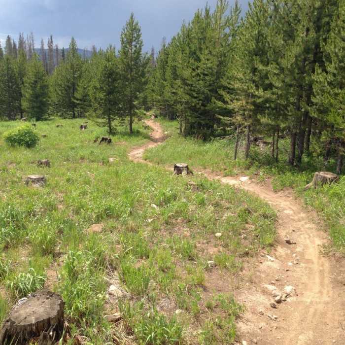
If done east to west, you could connect to Buffehr Creek Trail descent. If done west to east, you could connect to Son of Middle Creek. It's not particularly difficult in either direction, and hiking east to west, there is only one short/steep climb. There are some exposed roots and loose rocks throughout the length of the trail.
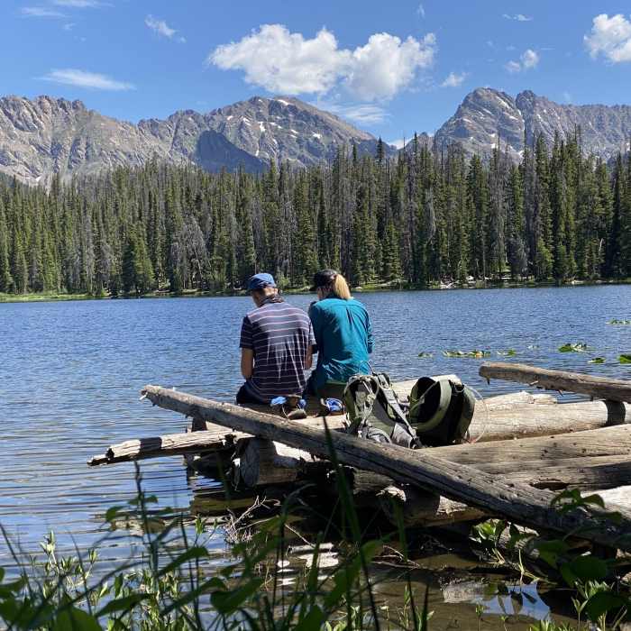
The trail is obvious and easy to follow, except for one area near Lost Lake where it is easy to lose when traveling from west to east. If hiking east to west, once you see the lake, follow the trail off to the right with the lake on your left. If hiking west to east, once you see the lake, follow the trail about 1/4 of the way around the lake or about 1/4 mile, then veer to your left with the lake at your back.
The trail itself is excellent in either direction.
No Condition Reports
Contributors

