Near Tumble Creek Trail #617
Saddle at the highpoint of Tumble Creek Trail, looking South towards Buena Vista.
Near Tumble Creek Trail #617
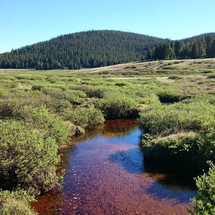
Enjoy this pleasant view when looking south across the Rough and Tumbling Creek meadows.
Near Tumble Creek Trail #617
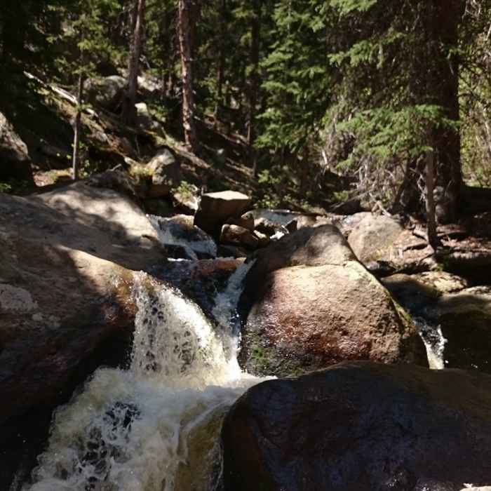
Multiple small, cascading waterfalls flow along Rough And Tumbling Creek.
Near Tumble Creek Trail #617
Expect to see iron-saturated water in the area.
Near Tumble Creek Trail #617
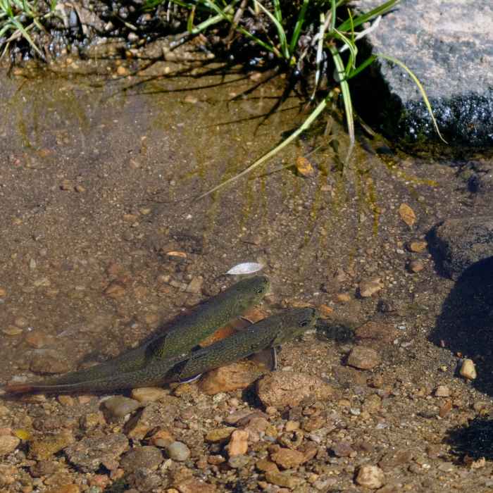
Baby trout in streams along the path through the meadow.

Looking for more photos?

View All Photos
View Map
Driving Directions
Hike Trail

Tumble Creek Trail #617

4.5 (2 Ratings)
A trail with varied terrain and lots of water.
10.8
mi
Distance
2,008
ft
Gain
moderate
Difficulty
BirdingFall ColorsRiver/CreekViewsWaterfallWildflowersWildlife
Access Issues
Almost all of the trail is within the Buffalo Peaks Wilderness, so please be mindful of wilderness restrictions.

Route Details

Flatter
Steeper
10.82mi
Distance
2,008ft
Elevation Gain
1,990ft
Elevation Loss
60%
Max Grade
11,428ft
High Point
9,896ft
Low Point
Path Type
Point to Point
Description
The beginning of this trail (or end depending on which side you start on) is quite steep especially with a pack on. It's pretty much a straight shot to the top of the ridge and after that you'll be in the meadows. Be careful not to go too far off-trail in the meadows because they can be deceivingly marshy at certain times of year, and you'll get your feet all wet. There are lots of great spots to pitch a tent once you get over the ridge and if you're feeling up to it, this trail leads you right past a great place to bushwhack to the top of West Buffalo Peak. There is no official trail to the top so if that is your goal, you just need to find a good ridge and hike up it. As you go across the meadows, there can be many small stream crossings (depending on time of year) and you just have to get creative on how to best cross them. Most have narrow sections where you can jump across. Once you get to the fork with Rich Creek Trail, the signs will direct you to the east and you'll find the remainder of the trail to gradually descend through forests, along streams, and past several interesting rock features. Right before you get to the end, there is one more ridge you have to climb, which can be a nuisance if you're tired. The ridge is covered in beautiful aspens though and it is still very enjoyable.

Route Conditions

Report Conditions
No Condition Reports
Report Conditions

Nearby Hike Routes

Buffalo Peaks Wilderness Circuit

Hike Route

Buffalo Peaks Wilderness Circuit

Fall Colors
strenuous
23.11 mi
+4,354 ft
Buffalo Peaks Wilderness Loop

Classic Hike Route

Buffalo Peaks Wilderness Loop

Birding
moderate
11.7 mi
+2,005 ft
Arkansas River Trail Hike

Hike Route

Arkansas River Trail Hike

Views
easy
1.92 mi
+41 ft
Midland Hill Out-and-Back

Classic Hike Route

Midland Hill Out-and-Back

Birding
moderate
4.8 mi
+1,681 ft
Broken Boyfriend Loop

Classic Hike Route

Broken Boyfriend Loop

Views
strenuous
5.81 mi
+679 ft
Midland Hill

Hike Route

Midland Hill

Views
moderate
4.8 mi
+1,681 ft
Contributors
Joshua Wells
