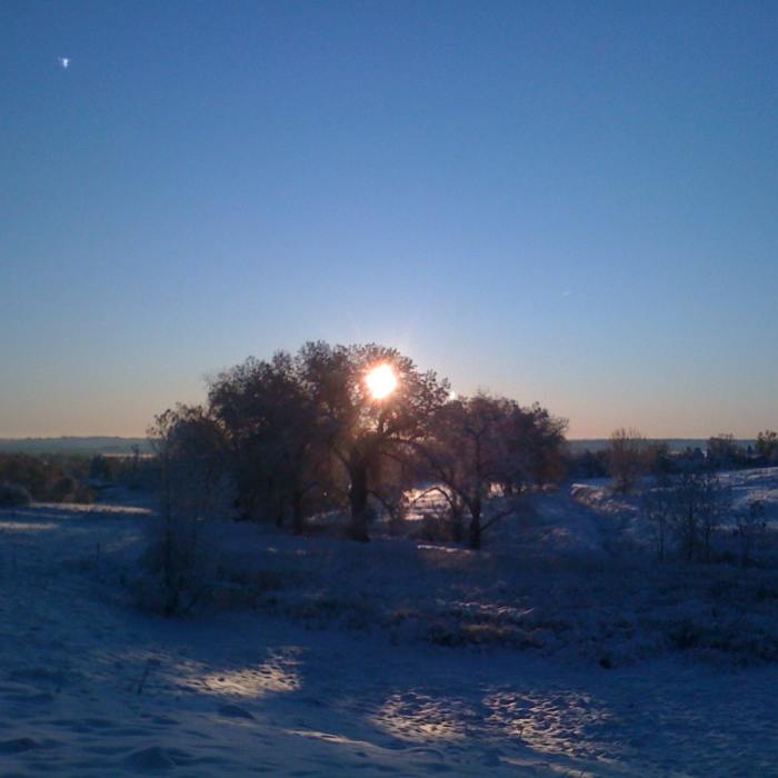
Near Coyote Run Open Space Trail
Winter Scenery in Coyote Run Open Space

Looking for more photos?

View All Photos
View Map
Driving Directions
Hike Trail

Coyote Run Open Space Trail

3.0 (1 Rating)
A connector trail between Via Appia and Washington Ave.
0.6
mi
Distance
101
ft
Gain
easy
Difficulty
Fall ColorsWildlife

Route Details

Flatter
Steeper
0.63mi
Distance
101ft
Elevation Gain
0ft
Elevation Loss
10%
Max Grade
5,581ft
High Point
5,478ft
Low Point
Path Type
Point to Point
Description
Parking is available at either end of this trail. The trail is lined with some nice cottonwoods, which provides excellent habitat for lots of birds (hawks and owls), and occasionally coyotes. Although short by itself, this trail can be used as a nice connector from the Louisville Res Bypass back to the Harper Lake Loop. If taking this trail from East to West, note that it is slightly uphill. In winter, there is some popular sledding along this trail, from Washington Ave down the hill. Bring a sled or just enjoy watching the fun.

Route Conditions

Report Conditions
No Condition Reports
Report Conditions

Nearby Hike Routes

Coyote Run - Harper Lake - Davidson Mesa - Louisville Res

Hike Route

Coyote Run - Harper Lake - Davidson Mesa - Louisville Res

Lake
easy
8.08 mi
+273 ft
Teller Farm - The Tank

Hike Route

Teller Farm - The Tank

Birding
easy
8.73 mi
+370 ft
South Boulder Creek Trail via Bobolink Trailhead

Hike Route

South Boulder Creek Trail via Bobolink Trailhead

Dogs Allowed
easy
6.73 mi
+157 ft
Lac Amora-Ruth Roberts Loop

Hike Route

Lac Amora-Ruth Roberts Loop

Birding
moderate
5.57 mi
+251 ft
Walden Ponds Wildlife Habitat

Hike Route

Walden Ponds Wildlife Habitat

Views
easy
1.51 mi
+14 ft
Dirty Bismark

Hike Route

Dirty Bismark

moderate
15.16 mi
+938 ft
Contributors
Christian Huber
