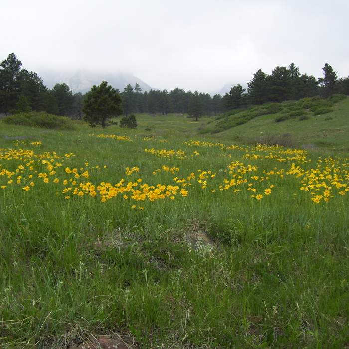
Near South Fork Shanahan Trail
Shanahan Trail Yellow Daisies with permission from BoulderTraveler
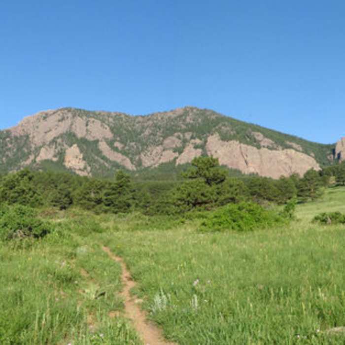
Near South Fork Shanahan Trail
South Boulder Peak with permission from BoulderTraveler

Looking for more photos?

View All Photos
View Map
Driving Directions
Hike Trail

South Fork Shanahan Trail

3.6 (5 Ratings)
South Fork ascends through ponderosa pine savannah and eventually intersects with the Mesa Trail.
1.8
mi
Distance
696
ft
Gain
moderate
Difficulty
Views
Access Issues
Dogs: Leash, Or Voice and Sight Control tags.

Route Details

Flatter
Steeper
1.82mi
Distance
696ft
Elevation Gain
41ft
Elevation Loss
25%
Max Grade
6,405ft
High Point
5,736ft
Low Point
Path Type
Point to Point
Description
South Fork Shanahan Trail ascends through ponderosa pine savannah and eventually intersects with the Mesa Trail. You can connect to North Fork Shanahan Trail turning onto Shanahan Connector, a trail which bisects both South Fork and North Fork Shanahan Trail's. Starting from Hardscrabble Connector, Lehigh Connector - S, or North Fork Shanahan Trail, South Fork heads straight south on doubletrack, then jogs due west on similar surface. Just prior to reaching Devil's Thumb Water Tank, the trail turns left and becomes singletrack for the duration and wanders through easy hills and pleasant ponderosa forest.

Route Conditions

Report Conditions
No Condition Reports
Report Conditions

Nearby Hike Routes

Shanahan Forks Loop

Hike Route

Shanahan Forks Loop

Views
moderate
4.09 mi
+796 ft
Shanahan Ridge

Hike Route

Shanahan Ridge

Birding
moderate
3.54 mi
+808 ft
Bear Peak Out and Back

Classic Hike Route

Bear Peak Out and Back

Birding
strenuous
5.68 mi
+2,785 ft
Mallory Cave Trail

Hike Route

Mallory Cave Trail

Less Crowded
moderate
3.1 mi
+1,241 ft
Dirty Bismark

Hike Route

Dirty Bismark

moderate
15.16 mi
+938 ft
Marshall Mesa Valley Loop

Hike Route

Marshall Mesa Valley Loop

Birding
moderate
2.72 mi
+191 ft
Contributors
Tom Robson
