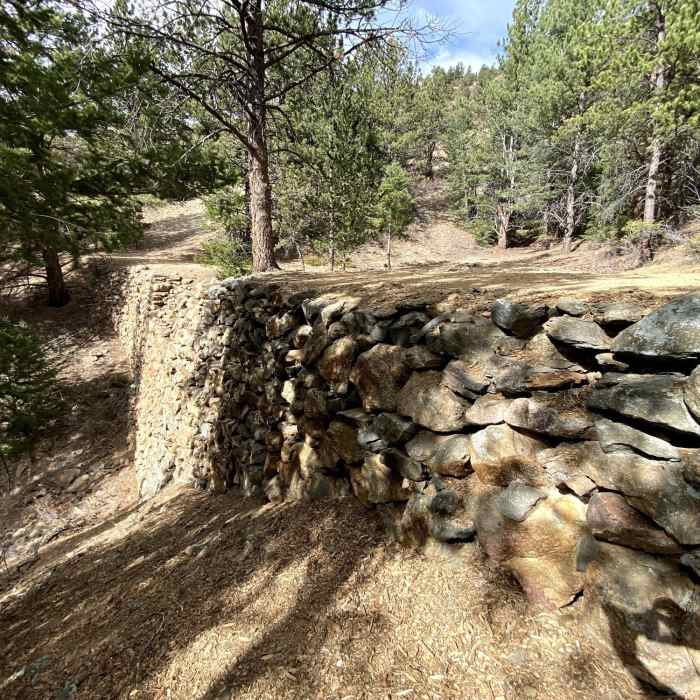
Near Paymaster Trail
Historic mining-era retaining wall for the Historic Gilpin Tramway
Near Paymaster Trail
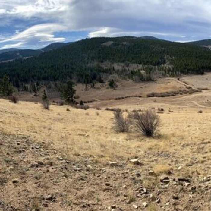
View from Easy Money

Looking for more photos?

View All Photos
View Map
Driving Directions
Hike Trail

Paymaster Trail

4.0 (1 Rating)
Paymaster provides a singletrack alternative to the Quartz Valley Trail.
1.8
mi
Distance
406
ft
Gain
moderate
Difficulty
Historical

Route Details

Flatter
Steeper
1.8mi
Distance
406ft
Elevation Gain
71ft
Elevation Loss
65%
Max Grade
8,776ft
High Point
8,365ft
Low Point
Path Type
Point to Point
Description
Meandering past more historic remnants of the mining era, this trail is a bit more suited to hiking than biking with some very tight switchbacks. Enjoyable beginner to intermediate trail with some steeper grades that require more effort than the doubletrack below. Highlight of this trail is an old cabin that sits right next to the trail.

Route Conditions

Report Conditions
No Condition Reports
Report Conditions

Nearby Hike Routes

Maryland Mountain

Classic Hike Route

Maryland Mountain

Fall Colors
moderate
6.25 mi
+1,084 ft
Mule Deer and Coyote Trail Loop

Hike Route

Mule Deer and Coyote Trail Loop

Fall Colors
moderate
5.56 mi
+959 ft
Charlie Tayler Waterwheel

Hike Route

Charlie Tayler Waterwheel

Waterfall
easy
0.14 mi
+5 ft
Black Bear - Horseshoe Loop

Hike Route

Black Bear - Horseshoe Loop

Views
moderate
5.24 mi
+1,398 ft
Golden Gate Canyon State Park Loop

Hike Route

Golden Gate Canyon State Park Loop

River/Creek
strenuous
13.03 mi
+2,709 ft
Black Bear + Horseshoe Trails Loop

Hike Route

Black Bear + Horseshoe Trails Loop

Dogs Allowed
moderate
4.6 mi
+1,315 ft
Contributors
Wendy Sweet
