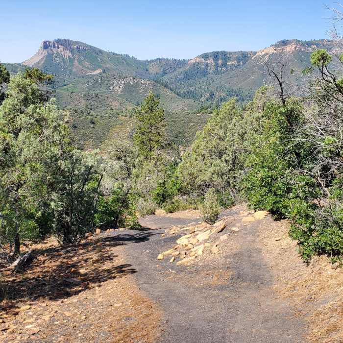
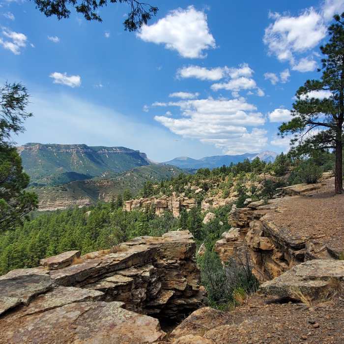
Near Lower Merve (Blue)
Distant views to the west
Near Lower Merve (Blue)
Trail runs along the top of pretty cliffs and rock formations.

Looking for more photos?

View All Photos
Driving Directions
Hike Trail

Lower Merve (Blue)

5.0 (1 Rating)
Excellent singletrack with great views connecting the bottom part of Animas West Rim and Animas Mountain Trail (west).
0.6
mi
Distance
238
ft
Gain
moderate
Difficulty
Views
Access Issues
Upper Animas Mountain trails closed for wildlife December 1 to July 31st. Lower Animas Mountain trails (from Aquila to the south) are closed from December 1 to April 15. Watch out for bikers.

Route Details

Flatter
Steeper
0.58mi
Distance
238ft
Elevation Gain
95ft
Elevation Loss
40%
Max Grade
7,323ft
High Point
7,168ft
Low Point
Path Type
Point to Point
Description
A segment of excellent singletrack that can be ridden either way to connect trails or create a loop. While riding along the canyon rim, enjoy fantastic views of Sailing Hawks and Durango.

Route Conditions

Report Conditions
No Condition Reports
Report Conditions

Nearby Hike Routes

Animas Mountain Loop

Classic Hike Route

Animas Mountain Loop

Birding
moderate
5.77 mi
+1,518 ft
Junction Creek Trail, Colorado Trail

Hike Route

Junction Creek Trail, Colorado Trail

Dogs Allowed
easy
1.47 mi
+318 ft
Smelter Mountain Trail

Classic Hike Route

Smelter Mountain Trail

Birding
strenuous
3.9 mi
+1,512 ft
Animas Overlook Trail

Hike Route

Animas Overlook Trail

ADA Accessible
easy
0.62 mi
+87 ft
Hermosa, Clear, South Fork Creeks Loop

Hike Route

Hermosa, Clear, South Fork Creeks Loop

River/Creek
strenuous
26.69 mi
+5,154 ft
La Plata Canyon

Hike Route

La Plata Canyon

Fall Colors
strenuous
18.76 mi
+3,021 ft
Contributors
Max Molello
