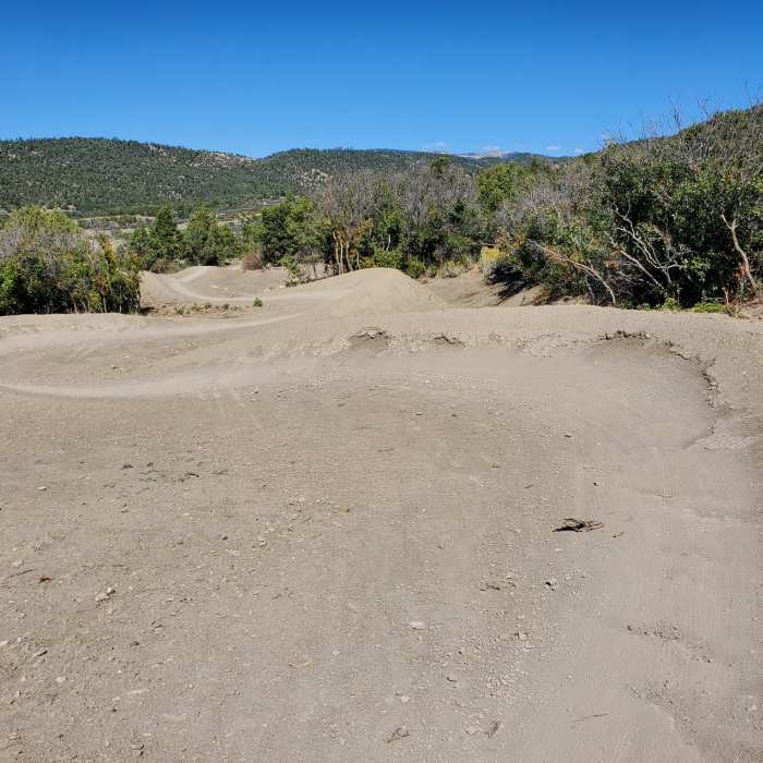
Near Meadow Knob Connector
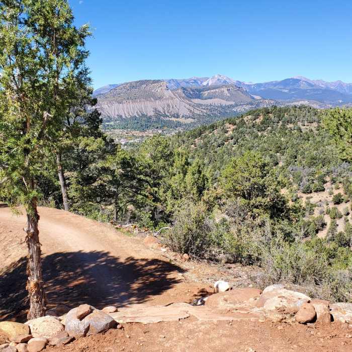
Raised starting platform for the Intermediate Downhill Trail.
Near Meadow Knob Connector
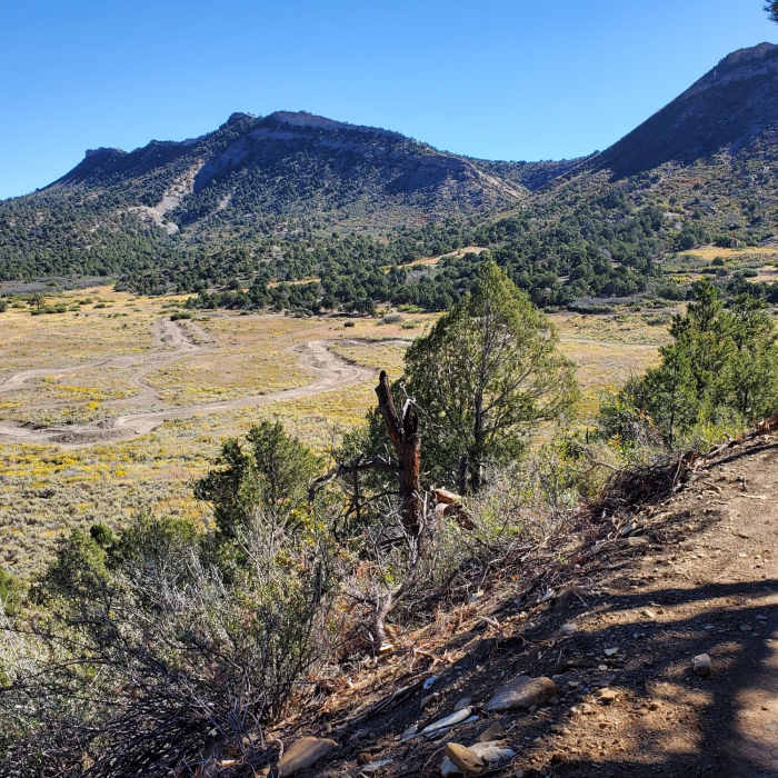
Looking down at the Meadow Beginner and Intermediate Downhill trails.
Near Meadow Knob Connector
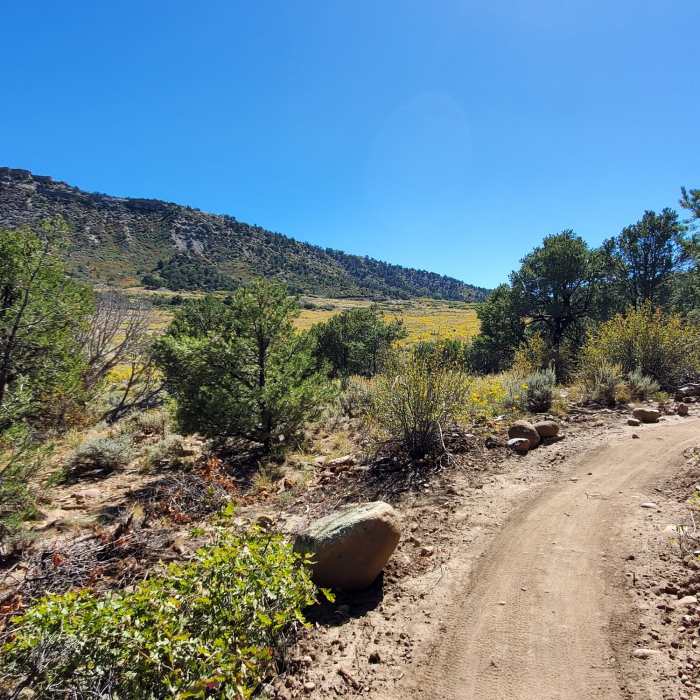
Looking south at Pautsky Point from the Meadow Knob Connector.
Near Meadow Knob Connector
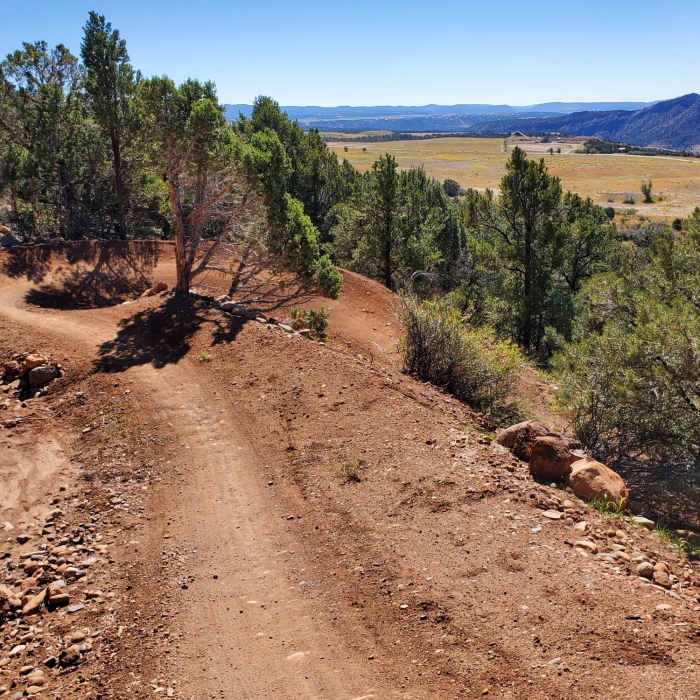
Twisty bermed turn with good views to the south and west.
Near Meadow Knob Connector
Fun serpentine feature near the bottom of this downhill trail.

Looking for more photos?

View All Photos
Driving Directions
Hike Trail

Meadow Knob Connector

3.0 (1 Rating)
Pleasant climb up the hillside that can be used to join the midpoints of Horse Gulch Trails and Durango Mesa trails
0.7
mi
Distance
228
ft
Gain
moderate
Difficulty
Views

Route Details

Flatter
Steeper
0.69mi
Distance
228ft
Elevation Gain
0ft
Elevation Loss
25%
Max Grade
7,078ft
High Point
6,850ft
Low Point
Path Type
Point to Point
Description
Starting from the southwestern tip of the Meadow Loop, cross the doubletrack service road. Then begin a mellow, switchbacking climb up the northern of the two knobs. Before entering the pine covered hillside, you'll get nice views of the valley's new (in 2023) downhill-only trails and Pautsky Point. At the shady saddle between the two knobs is the 4-way junction of Mesa Connector and Meadow Knob Connector. Continue straight and towards the right (due west) to stay on Meadow Knob Connector. One more switchback and a bit more climbing brings you to a round platform built up on piled rocks. This is where the Meadow Knob Connector ends and the Intermediate Downhill trail begins.

Route Conditions

Report Conditions
No Condition Reports
Report Conditions

Nearby Hike Routes

Smelter Mountain Trail

Classic Hike Route

Smelter Mountain Trail

Birding
strenuous
3.9 mi
+1,512 ft
Animas Mountain Loop

Classic Hike Route

Animas Mountain Loop

Birding
moderate
5.77 mi
+1,518 ft
Junction Creek Trail, Colorado Trail

Hike Route

Junction Creek Trail, Colorado Trail

Dogs Allowed
easy
1.47 mi
+318 ft
Animas Overlook Trail

Hike Route

Animas Overlook Trail

ADA Accessible
easy
0.62 mi
+87 ft
Hermosa, Clear, South Fork Creeks Loop

Hike Route

Hermosa, Clear, South Fork Creeks Loop

River/Creek
strenuous
26.69 mi
+5,154 ft
La Plata Canyon

Hike Route

La Plata Canyon

Fall Colors
strenuous
18.76 mi
+3,021 ft
Contributors
Megan W
