Near Wintu Trail
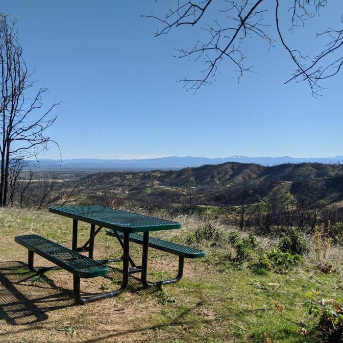
Picnic table on a spur trail.

Looking for more photos?

View All Photos
Driving Directions
Hike Trail

Wintu Trail

3.0 (2 Ratings)
Climbers will love the switchback ascent and downhillers can play on all the trail furniture.
2.7
mi
Distance
588
ft
Gain
moderate
Difficulty

Route Details

Flatter
Steeper
2.7mi
Distance
588ft
Elevation Gain
488ft
Elevation Loss
30%
Max Grade
1,313ft
High Point
954ft
Low Point
Path Type
Point to Point
Description
The Wintu Trail connects the lower/main Swasey Recreation Area parking area to the Meiners Loop, Escalator and rest of the Swasey Recreation Area trails. Starting from the Wintu Trailhead and heading counter-clockwise, the trail gradually climbs a doubletrack and heads over a small roller before hitting singletrack. The trail then becomes a steep climb on several switchbacks. At the first trail junction with the Meiners Loop, stay left (downhill).

Route Conditions

Report Conditions
No Condition Reports
Report Conditions

Nearby Hike Routes

Kanaka Peak

Hike Route

Kanaka Peak

River/Creek
moderate
6.09 mi
+1,447 ft
Brandy Creek Falls

Hike Route

Brandy Creek Falls

Views
easy
2.29 mi
+0 ft
Boulder Creek Falls (South Shore Drive Access)

Hike Route

Boulder Creek Falls (South Shore Drive Access)

Fall Colors
moderate
5.32 mi
+1,134 ft
Flanagan Trail to Chamise Peak

Hike Route

Flanagan Trail to Chamise Peak

Fall Colors
moderate
4.69 mi
+689 ft
Crystal Creek Falls

Hike Route

Crystal Creek Falls

Views
easy
0.32 mi
+0 ft
Whiskeytown Falls

Hike Route

Whiskeytown Falls

Views
easy
1.38 mi
+851 ft
Contributors
Pablo Herrera
