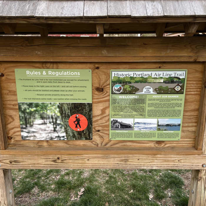
Near Portland Air Line Trail
Parking lot at 82 Middle Haddam Road.

Looking for more photos?

View All Photos
Driving Directions
Hike Trail

Portland Air Line Trail

5.0 (1 Rating)
Portion of the Air Line Trail features flat, smooth packed earth and crushed cinder surface and several sweeping vistas.
3.1
mi
Distance
ft
Gain
easy
Difficulty
BirdingFall ColorsHistoricalRiver/CreekViewsWildflowersWildlife
Access Issues
No motor vehicles permitted on trail.

Route Details

Flatter
Steeper
3.06mi
Distance
0ft
Elevation Gain
174ft
Elevation Loss
15%
Max Grade
320ft
High Point
146ft
Low Point
Path Type
Point to Point
Description
Portion of the Air Line Trail maintained by the town of Portland that will eventually connect to the southern portion of the state park. Trail surface is mostly flat, smooth packed earth and crushed cinder. Majority of route is double wide with exception of a wooden bridge and several carved canyons where path narrows briefly to single width. Much of route is shaded by trees in season. The town maintained Palmer Taylor Preserve can be accessed by two points along the trail.

Route Conditions

Report Conditions
No Condition Reports
Report Conditions

Nearby Hike Routes

Shenipsit Trail

Hike Route

Shenipsit Trail

River/Creek
strenuous
50.19 mi
+5,319 ft
Orange Vista Trail

Hike Route

Orange Vista Trail

Views
easy
1.72 mi
+368 ft
Northwoods Loop

Hike Route

Northwoods Loop

Geologically Significant
strenuous
10.32 mi
+1,612 ft
Shenipsit Trail: Case Mountain to Gay City

Hike Route

Shenipsit Trail: Case Mountain to Gay City

Birding
moderate
12.81 mi
+1,869 ft
Ragged Mountain Blue and Red Blazed Loop

Hike Route

Ragged Mountain Blue and Red Blazed Loop

Fall Colors
strenuous
5.59 mi
+916 ft
Chatfield Trail

Hike Route

Chatfield Trail

Cave
moderate
4.22 mi
+413 ft
Contributors
Matt OConnor
