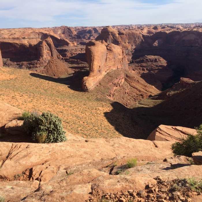
Near Fortymile Ridge Trail
View from atop the nearby Crack in the Wall.
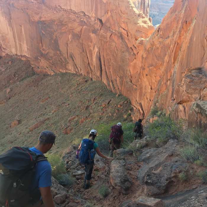
Near Fortymile Ridge Trail
Heading into the canyon.

Looking for more photos?

View All Photos
Driving Directions
Hike Trail

Fortymile Ridge Trail

3.5 (2 Ratings)
An undulating slickrock trail with some elevation at the beginning and a breathtaking view at the end.
1.9
mi
Distance
53
ft
Gain
moderate
Difficulty
Commonly BackpackedGeologically SignificantViews
Access Issues
The access road to the trailhead is sandy with some areas requiring some clearance. Older Subaru Outback made it fine.

Route Details

Flatter
Steeper
1.86mi
Distance
53ft
Elevation Gain
443ft
Elevation Loss
25%
Max Grade
4,676ft
High Point
4,286ft
Low Point
Path Type
Point to Point
Description
Though many visitors will use this trail as an entry or exit for a backpacking trip through Coyote Gulch, the trail is a great day hike option by itself. There isn't too much strenuous elevation gain/loss and the tread is relatively easy along grippy slickrock. Wayfinding is aided by large cairns and a good line of sight makes it relatively easy to know you're at least headed in the right direction. Unsurprisingly, this area can get unbearably hot depending on season and time of day, and there isn't any access to water so make sure to plan accordingly.

Route Conditions

Report Conditions
No Condition Reports
Report Conditions

Nearby Hike Routes

Coyote Gulch Loop

Hike Route

Coyote Gulch Loop

Commonly Backpacked
strenuous
12.68 mi
+1,668 ft
Hayduke Trail: Section 7

Hike Route

Hayduke Trail: Section 7

Views
extreme
80.98 mi
+11,206 ft
Coyote Gulch via Hurricane Wash

Hike Route

Coyote Gulch via Hurricane Wash

Less Crowded
extreme
26.1 mi
+2,560 ft
Coyote Gulch via Red Well

Hike Route

Coyote Gulch via Red Well

Cave
moderate
28.35 mi
+2,480 ft
Cave Point Wash Backpack

Hike Route

Cave Point Wash Backpack

Less Crowded
easy
2.99 mi
+67 ft
Reflection Canyon

Hike Route

Reflection Canyon

Dogs Allowed
strenuous
15.16 mi
+1,814 ft
Contributors
Caitlin Zupancic
