Near BST: Flight Park to Mike Weir
Singletrack in Canyon Hollow
Near BST: Flight Park to Mike Weir
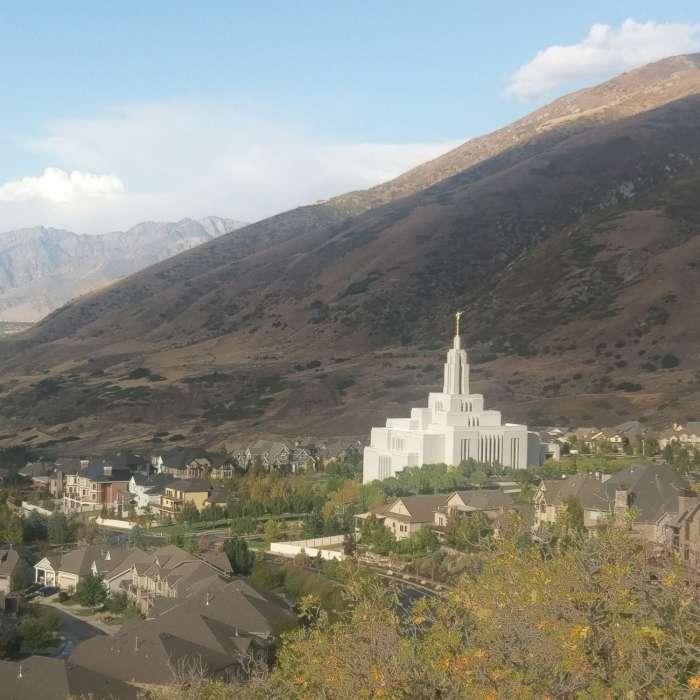
Views of Draper from the side of Potato Hill
Near BST: Flight Park to Mike Weir
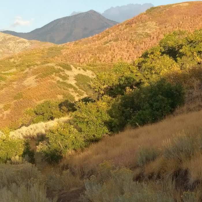
Looking up-canyon from the footpath
Near BST: Flight Park to Mike Weir
Up close views of the Draper Mormon church
Near BST: Flight Park to Mike Weir
Looking east from the BST Trail at dusk.

Looking for more photos?

View All Photos
View Map
Driving Directions
Hike Trail

BST: Flight Park to Mike Weir

3.0 (2 Ratings)
The BST portion between the Draper Glider Park and the Corner Canyon trail system.
5.4
mi
Distance
789
ft
Gain
moderate
Difficulty
ViewsWildflowers

Route Details

Flatter
Steeper
5.42mi
Distance
789ft
Elevation Gain
762ft
Elevation Loss
30%
Max Grade
5,363ft
High Point
5,001ft
Low Point
Path Type
Point to Point
Description
The northern end of this trail starts at the Coyote Hollow Trailhead behind the temple in Draper. Follow it up into Corner Canyon, and make the first right. Continue on this trail for about 3/4 of a mile where the trail splits. If you continue left, you end up on Potato Hill Trail so you'll want to veer right. Stay on this trail for another mile or so where it crosses a road. Eventually, you'll end up at another trail junction where you'll want to veer left and continue through a large tunnel underneath a road. From here, the trail will eventually cross another neighborhood road and intersect with Ann's Trail. Make a right, and then follow the trail until it ends at the Flight Park State Recreation Area. Alternatively, you can do this trail in reverse. BST = Bonneville Shoreline Trail

Route Conditions

Report Conditions
No Condition Reports
Report Conditions

Nearby Hike Routes

Find more hikes near: Draper, UtahAlpine, UtahHighland, Utah
Corner Canyon (Ann's - Coyote Hollow) Loop

Hike Route

Corner Canyon (Ann's - Coyote Hollow) Loop

Fall Colors
moderate
6.1 mi
+826 ft
Jacob's Ladder Trail

Hike Route

Jacob's Ladder Trail

Views
strenuous
14.2 mi
+5,844 ft
Bear Canyon Suspension Bridge

Hike Route

Bear Canyon Suspension Bridge

Family Friendly
moderate
2.12 mi
+468 ft
Maple Hollow South > Eagle Crest > Woodshollow

Hike Route

Maple Hollow South > Eagle Crest > Woodshollow

Fall Colors
moderate
4.4 mi
+583 ft
Hidden Valley to Bear Canyon Trail

Hike Route

Hidden Valley to Bear Canyon Trail

Dogs Allowed
easy
3.06 mi
+297 ft
The Sawmill Trail

Hike Route

The Sawmill Trail

Views
moderate
3.25 mi
+1,661 ft
Contributors
Orphaned User
