Near Duke Energy Corridor
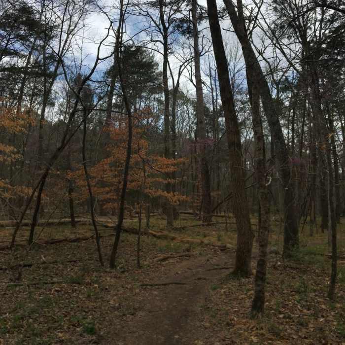
The Occoneechee Loop is heavily forested.
Near Duke Energy Corridor
Duke Energy Corridor intersects Maytag near this spot.
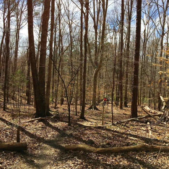
Near Duke Energy Corridor
The top of the Lowlands Loop traverses peaceful forests.

Looking for more photos?

View All Photos
View Map
Driving Directions
Hike Trail

Duke Energy Corridor

3.5 (2 Ratings)
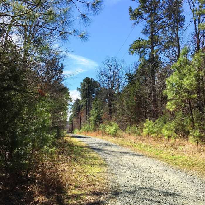
Gravel road following the powerlines
0.9
mi
Distance
91
ft
Gain
easy
Difficulty
BirdingRiver/CreekWildlife

Route Details

Flatter
Steeper
0.93mi
Distance
91ft
Elevation Gain
121ft
Elevation Loss
10%
Max Grade
517ft
High Point
400ft
Low Point
Path Type
Point to Point
Description
This is a simple gravel road that give access to Duke energy utility lines. It is crossed by many of the trails of western Carolina North Forest. The trail begins by the athletic fields of Chapel Hill High School and ends on Waterside Drive. This trail is more open and flatter than many of the trails and provides a nice way to loop together different trails.

Route Conditions

Report Conditions
No Condition Reports
Report Conditions

Nearby Hike Routes

Battle Branch / Bolin Creek Loop

Hike Route

Battle Branch / Bolin Creek Loop

Birding
moderate
3.53 mi
+206 ft
Johnston Mill Loop

Hike Route

Johnston Mill Loop

Fall Colors
moderate
2.94 mi
+194 ft
Korstian Foot Trail Loop

Hike Route

Korstian Foot Trail Loop

Birding
moderate
6.82 mi
+644 ft
Duke Korstian Loop

Hike Route

Duke Korstian Loop

Birding
moderate
4.01 mi
+403 ft
Brumley Forest Nature Preserve Loop

Hike Route

Brumley Forest Nature Preserve Loop

Lake
moderate
5.58 mi
+304 ft
Brumley Nature Preserve North

Hike Route

Brumley Nature Preserve North

Birding
moderate
3.26 mi
+71 ft
Contributors
Russell Hobart
