

Near Mule Creek Trail
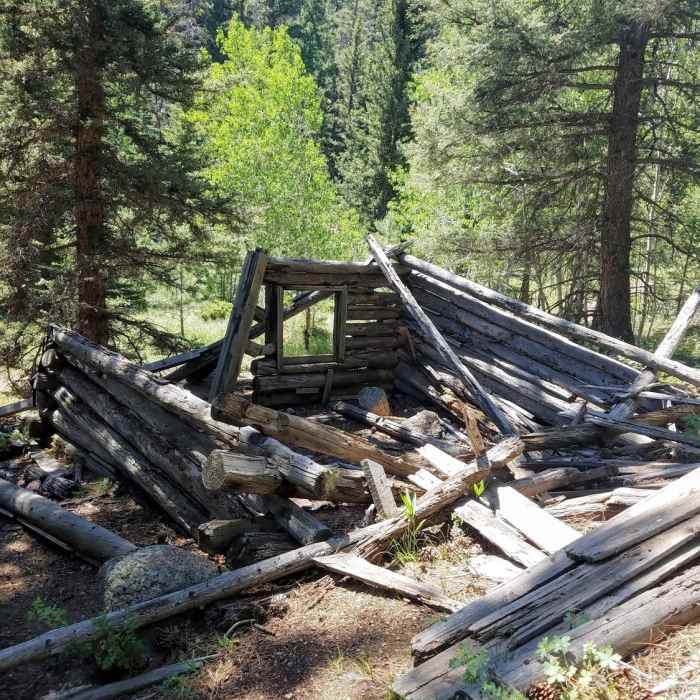
Cabin Remains near end of Mule Trail.
Near Mule Creek Trail
Cabin remains
Near Mule Creek Trail
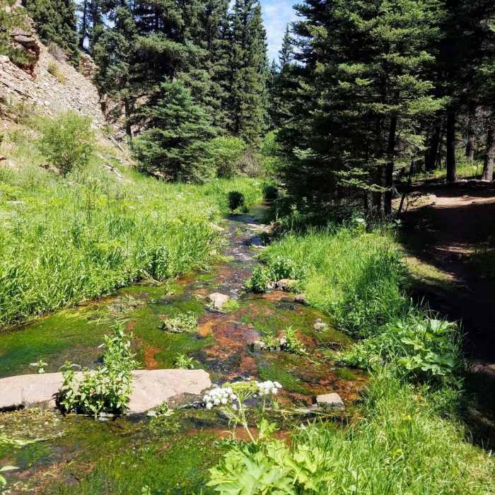
Hike alongside a beautiful creek most of the way!
Near Mule Creek Trail
Flowing creek alongside most of trail
Near Mule Creek Trail
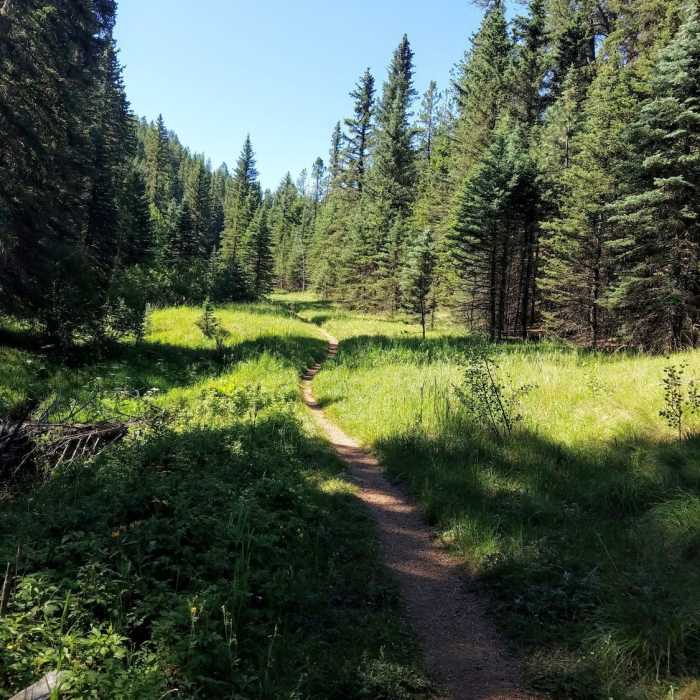
Flat trail, easy for families.

Looking for more photos?

View All Photos
Driving Directions
Hike Trail

Mule Creek Trail

3.8 (9 Ratings)
An out-and-back trail in North Woodland Park.
3
mi
Distance
630
ft
Gain
moderate
Difficulty
BirdingFall ColorsFamily FriendlyRiver/CreekWildflowersWildlife

Route Details

Flatter
Steeper
2.99mi
Distance
630ft
Elevation Gain
81ft
Elevation Loss
15%
Max Grade
8,569ft
High Point
8,019ft
Low Point
Path Type
Point to Point
Description
The Mule Creek Trail is a 7 mile out-and-back that follows along Trout Creek and Mule Creek. It begins off of Forest Service Road 75, just off of Highway 67. Look for a trail marker that designates allowed uses at the trailhead. The singletrack winds through aspen and pines. Within the first mile, there are several rocky sections where you'll have to watch your footing. The trail then climbs steadily without sustained steep sections; however roots, rocky features and several river crossings keep the hike interesting. Near the end of the trail, it passes a cabin, and joins into the 717 system. As mapped out here, the trail ends at trail 717A. From here you can turn back around and retrace your steps or head further into the 717 trail system.

Route Conditions

Report Conditions
No Condition Reports
Report Conditions

Nearby Hike Routes

Red Rocks Trail Hike

Hike Route

Red Rocks Trail Hike

Views
moderate
6.25 mi
+727 ft
Rampart Reservoir Trail #700

Hike Route

Rampart Reservoir Trail #700

Lake
moderate
10.44 mi
+935 ft
Mount Herman

Hike Route

Mount Herman

Dogs Allowed
easy
1.09 mi
+915 ft
Limbaugh Canyon/Reservoir Loop

Hike Route

Limbaugh Canyon/Reservoir Loop

Fall Colors
moderate
5.42 mi
+1,066 ft
Harrison Crash Site via Ice Cave

Hike Route

Harrison Crash Site via Ice Cave

Fall Colors
strenuous
10.59 mi
+2,447 ft
Winding Stairs Loop

Hike Route

Winding Stairs Loop

River/Creek
moderate
5.65 mi
+1,728 ft
Contributors
Kristen Arendt
