Near Lower Descanso Creek Trail
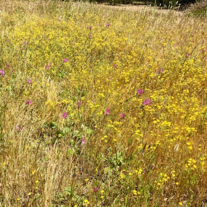
Beautiful spring flowers grow right alongside the trail.
Near Lower Descanso Creek Trail
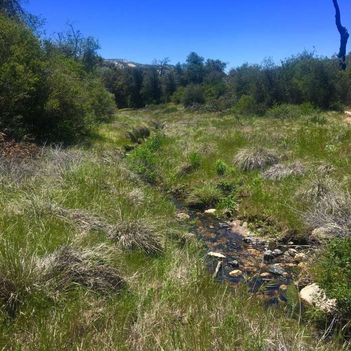
Descanso Creek is small yet beautiful.
Near Lower Descanso Creek Trail
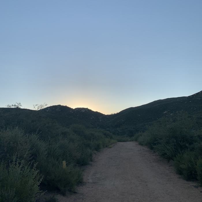
The start of the trail.
Near Lower Descanso Creek Trail
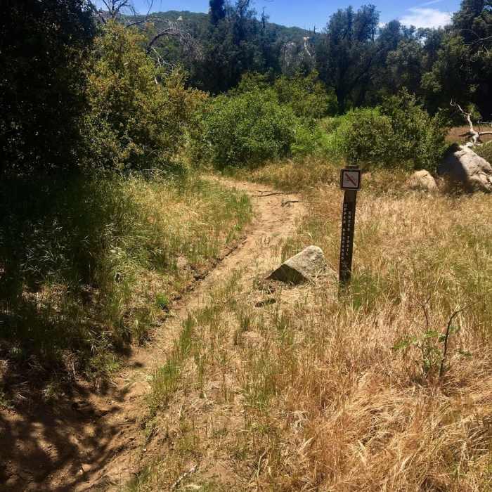
The start of the Upper Descanso Creek Trail is marked by this sign.

Looking for more photos?

View All Photos
View Map
Driving Directions
Hike Trail

Lower Descanso Creek Trail

3.5 (2 Ratings)
A pleasant tour of the Descanso Creek.
0.7
mi
Distance
175
ft
Gain
moderate
Difficulty
BirdingRiver/CreekViewsWildflowers

Route Details

Flatter
Steeper
0.67mi
Distance
175ft
Elevation Gain
28ft
Elevation Loss
25%
Max Grade
4,074ft
High Point
3,924ft
Low Point
Path Type
Point to Point
Description
From the Oakzanita parking lot, head uphill. Soon you come to the first of two stone-hopping creek crossings. Head up the hill and gain a commanding view of the creek. Continue following the creek until you cross again and eventually pop up onto East Mesa Fire Road. At this point, you can continue back or turn right on the road and shortly connect up with Upper Descanso Creek Trail which helps you access Oakzanita Summit Trail which is probably the reason you are here.

Route Conditions

Report Conditions
No Condition Reports
Report Conditions

Nearby Hike Routes

Airplane Monument Loop

Hike Route

Airplane Monument Loop

Views
moderate
4.63 mi
+914 ft
West Mesa Loop

Hike Route

West Mesa Loop

Views
moderate
6.59 mi
+1,128 ft
Cuyamaca Peak

Hike Route

Cuyamaca Peak

Birding
moderate
5.59 mi
+1,646 ft
Stonewall Peak Loop

Hike Route

Stonewall Peak Loop

Birding
moderate
5.15 mi
+1,082 ft
Stonewall Peak

Hike Route

Stonewall Peak

Lake
easy
1.92 mi
+869 ft
Minshall Trail to Stonewall Mine Loop

Hike Route

Minshall Trail to Stonewall Mine Loop

Lake
easy
3.31 mi
+193 ft
Contributors
Russell Hobart
