Ready to explore this trail?
View Trail Map in AppVisitors will need to pick up a free permit from one of the parks' visitor centers to access this trail.
Path Type
Point to Point
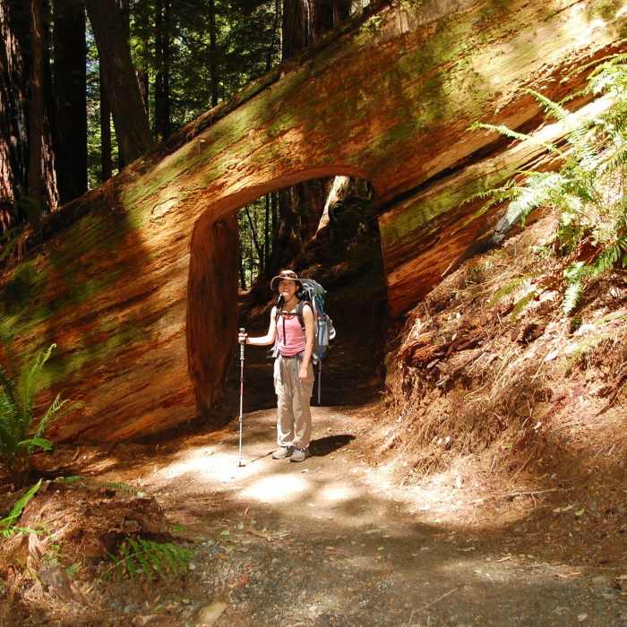
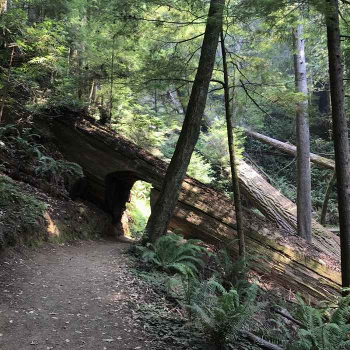
Visitors to Redwood National Park frequently come to admire the giant coastal redwoods the call this area home, and the Tall Trees Trail is the perfect trail on which to visit some of the park's giants. An excursion to this trail will take nearly half a day, and the park recommends allotting ~4 hours to reach the trailhead and complete your journey on this trail. The last few miles of driving to this location will be on a winding dirt road. This makes it especially difficult for larger vehicles such as RV's to access the trailhead, and travel isn't recommended for vehicles over 21 feet in length.
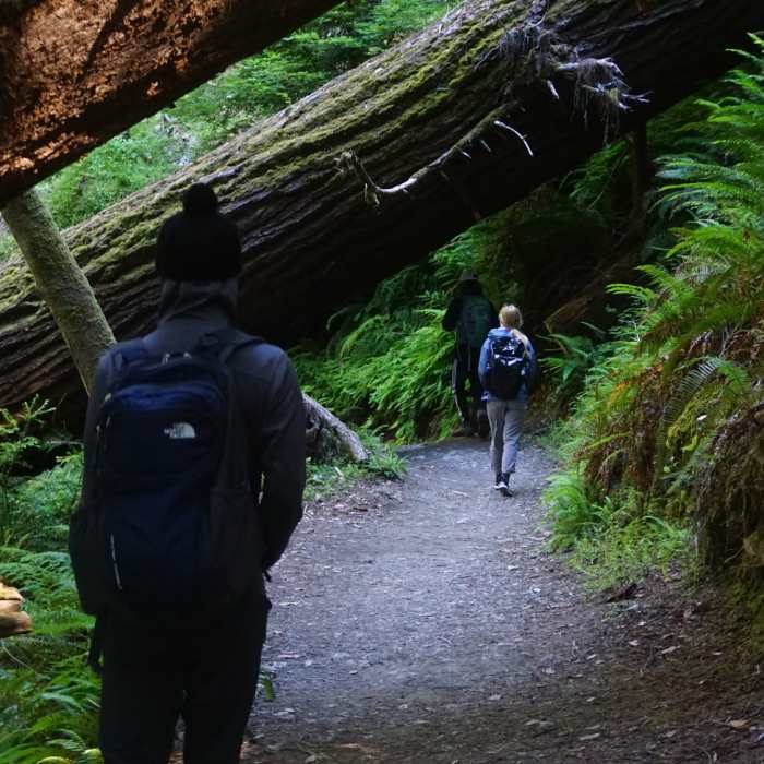
After the scenic drive to the trailhead, you'll park your car near a picnic area and trailhead. From there, two trails will depart, this one and the Emerald Ridge Trail. Take the more northern of the two, and keep right at any intersections. From here, you'll enjoy about 1.5 miles of shady, downhill hiking. There are a few steeper portions of the trail, so use caution on your way down.
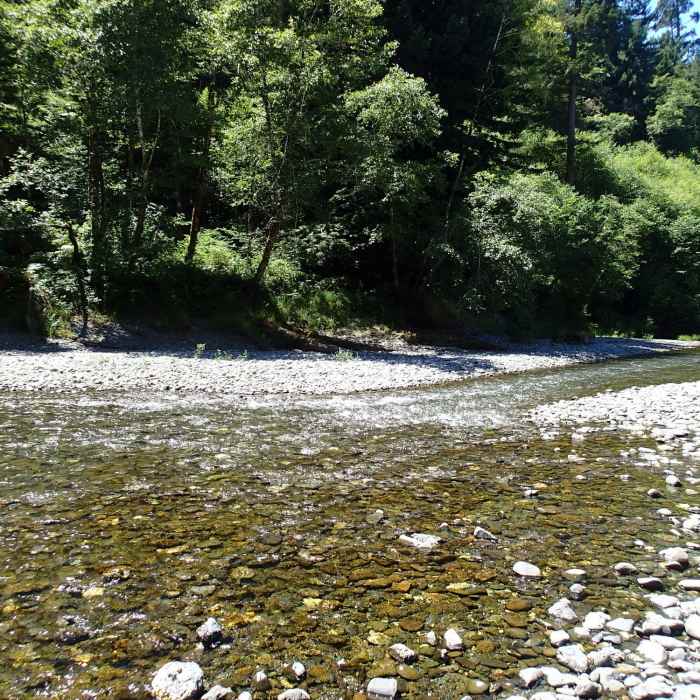
At the end of the descent, you'll have reached an alluvial flat. The trail here will split both right and left. You can take either route, as this is a looped portion of the trail. This route heads to the left first, following along Redwood Creek. You'll enjoy a series of boardwalks through this section, which keep your feet dry even when water levels are high. Enjoy this opportunity to get especially close to the water and to observe the full-time residents!
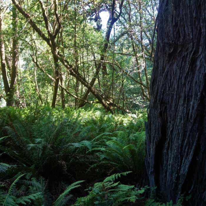
As you continue on your way, the trail will eventually duck back into the trees. It is in this section that the already large redwood forest will show off some of the tallest members of the grove. Take your time to admire the scale of the trees in this portion, as some of them are truly massive! Once you've made your way through the grove, you'll find yourself back at the intersection where you initially turned left.
Make another left to begin your 1.5 mile hike back to the car. Note that the elevation that you lost on the way to the grove has to be made up, and you'll be climbing for most of the return trip.
No Condition Reports
Contributors

