Ready to explore this trail?
View Trail Map in AppPath Type
Point to Point
The Marsh Hawk Trail is a 3-mile, paved looped trail that passes through woodlands, prairies, and vernal pools and connects to the Ironwood Trail. The Marsh Hawk Trail is an ADA accessible looped trail. Parking is available in three areas and is accessible to the trailhead.
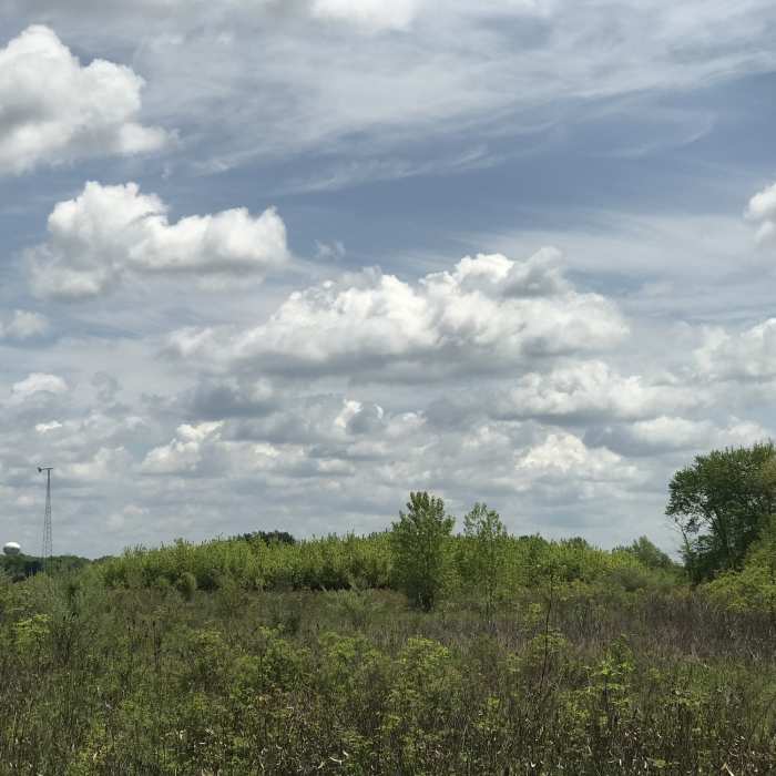
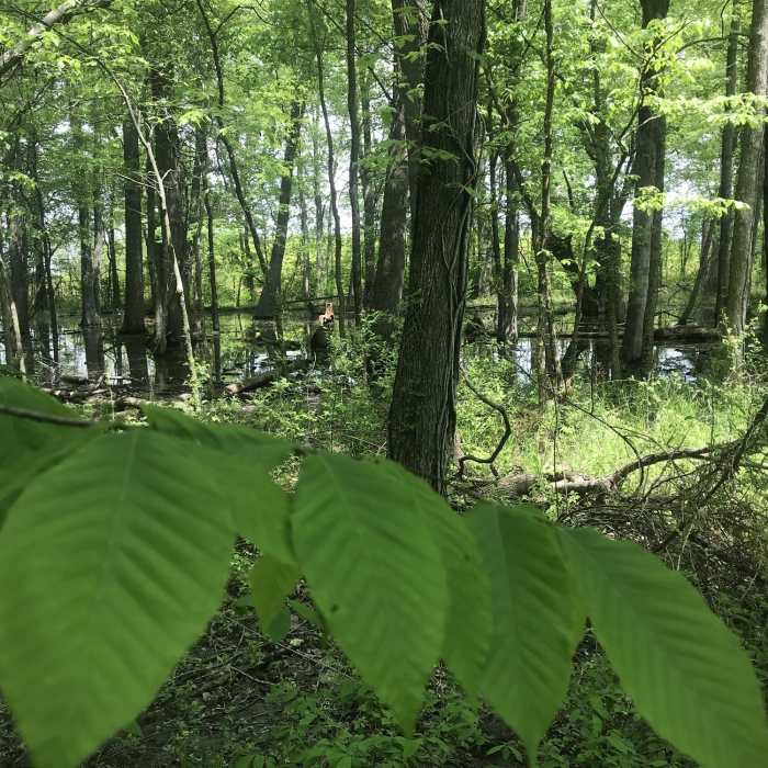
Along the 3-mile trail, hikers will come across vernal pools, weave in and out of woodlands, and cross prairies. Along the southern portion of the trail, hikers will stroll along second-growth woodlands as well as areas where there is woodland restoration.
The northern end of the loop, hikers will find two wetlands mixed with prairie. A wind and solar learning center can also be found along the way. Power produced by the wind turbine and solar rays help power the park bathrooms.
If hikers are looking to extend their outing, the Marsh Hawk Trail connects to the Ironweed Trail that runs approximately two miles south to the Honda Wetland Education area.
Leashed pets are allowed on the trail and ample parking is available at multiple places along the trail.
No Condition Reports
Bent Tree Ridge Trail by way of Tree Swallow Trail
Bent Tree Ridge Trail by way of Tree Swallow Trail
Contributors

