Near Back Draft Trail #546
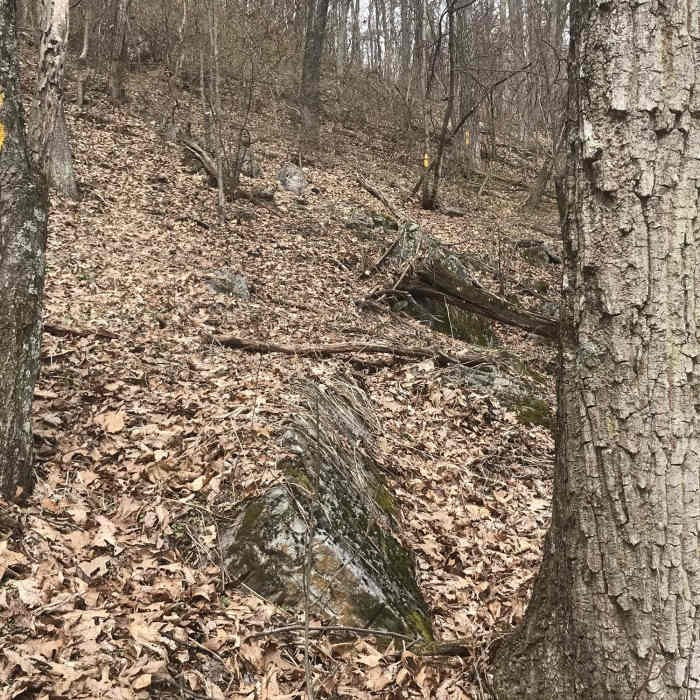
The condition of the trail on the western slope of Walker Mountain is much better than what is found on the eastern slope.
Near Back Draft Trail #546
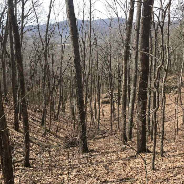
Winter view looking wet from western slope of Walker Mountain.
Near Back Draft Trail #546
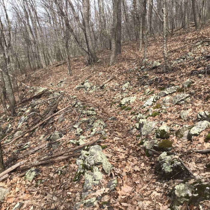
Photo taken near the top of Walker Mountain on its eastern slope. Prolific blazing helps hikers follow the general direction of the Backdraft Trail, but it is accurate to state that no real trail exists here.

Looking for more photos?

View All Photos
View Map
Driving Directions
Hike Trail

Back Draft Trail #546

1.0 (1 Rating)
2.8
mi
Distance
1,031
ft
Gain
strenuous
Difficulty

Route Details

Flatter
Steeper
2.8mi
Distance
1,031ft
Elevation Gain
1,052ft
Elevation Loss
30%
Max Grade
3,109ft
High Point
2,089ft
Low Point
Path Type
Point to Point
Description
The Back Draft Trail is a connector trail, allowing a resolute hiker to travel from the Shenandoah Mountain Trail (447) near Wallace Peak to the top of Walker Mountain or the Mill Mountain Trail #492 when combined with a couple of other trails. It has no views. The section of trail on the eastern slope of Walker Mountain is in terrible shape in 2020 - the trail doesn't even exist, though copious blazing is found on trees so you cannot get lost. The western slope of Walker Mountain is in much better shape, and a better hike that avoids the eastern slope can be accomplished by hiking this trail to the ridge of Walker Mountain, hiking south on the old woods road (really now a trail, as the road has been closed for years), and then descending using the Sam Judd Ramsey Trail #660 to the Clayton Mill Road.

Route Conditions

Report Conditions
No Condition Reports
Report Conditions

Nearby Hike Routes

Jump Rock Loop

Hike Route

Jump Rock Loop

Birding
strenuous
7.8 mi
+2,560 ft
Ramsey's Draft Loop

Hike Route

Ramsey's Draft Loop

Commonly Backpacked
moderate
15.7 mi
+3,019 ft
Snarkley Route

Hike Route

Snarkley Route

extreme
26.71 mi
+12,335 ft
Beards Mountain Loop

Hike Route

Beards Mountain Loop

Fall Colors
moderate
6.2 mi
+1,509 ft
Blue Suck Falls Loop

Hike Route

Blue Suck Falls Loop

Fall Colors
moderate
8.66 mi
+2,032 ft
Spy Rock Out-and-Back

Hike Route

Spy Rock Out-and-Back

Fall Colors
strenuous
5.72 mi
+1,300 ft
Contributors
Jeff Monroe
