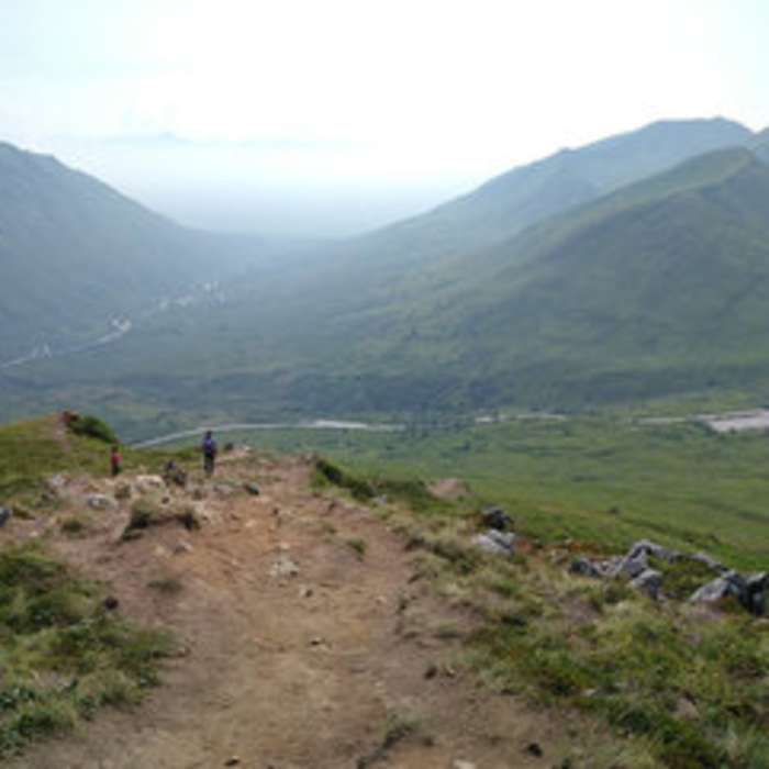
Near Marmot Mountain
Halfway to Marmot Peak.

Looking for more photos?

View All Photos
View Map
Driving Directions
Hike Trail

Marmot Mountain

4.0 (1 Rating)
1.4
mi
Distance
2,022
ft
Gain
strenuous
Difficulty
Fall ColorsViews

Route Details

Flatter
Steeper
1.35mi
Distance
2,022ft
Elevation Gain
37ft
Elevation Loss
45%
Max Grade
4,734ft
High Point
2,749ft
Low Point
Path Type
Point to Point
Description
At mile 16.5 on Hatcher Pass Road, you'll find the Fishhook parking lot and trailhead on your right. The hike to Marmot Peak is fairly steep until you get to the ridge line. From there, you'll get several great views of the surrounding valleys and mountains, including Independence Mine. You'll likely see others picking blueberries and may see paragliders too.

Route Conditions

Report Conditions
No Condition Reports
Report Conditions

Nearby Hike Routes

Granite Mountain

Hike Route

Granite Mountain

Less Crowded
moderate
2.25 mi
+1,624 ft
Independence Mine State Historical Park

Hike Route

Independence Mine State Historical Park

Views
easy
1.08 mi
+214 ft
Gold Cord Lake Out-and-Back

Hike Route

Gold Cord Lake Out-and-Back

Birding
moderate
1.77 mi
+456 ft
Reed Lakes Trail

Hike Route

Reed Lakes Trail

Commonly Backpacked
strenuous
10.27 mi
+2,396 ft
Pioneer Loop

Hike Route

Pioneer Loop

Fall Colors
moderate
1.21 mi
+80 ft
Government Peak Climb

Hike Route

Government Peak Climb

Views
strenuous
5.46 mi
+3,833 ft
Contributors
Michael Backus
