Near Jackson River Scenic Trail
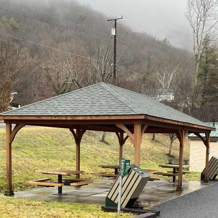
Smith Bridge Parking lot has restroom, details and gazebo.
Near Jackson River Scenic Trail
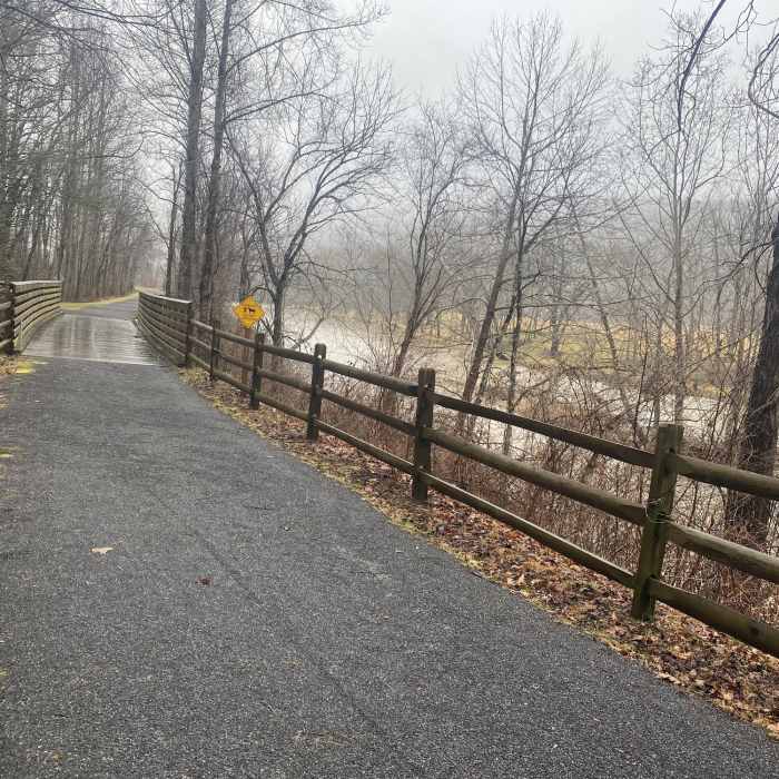
The trail has a several short bridges - all are in good condition, but the wood is slippery when wet.
Near Jackson River Scenic Trail
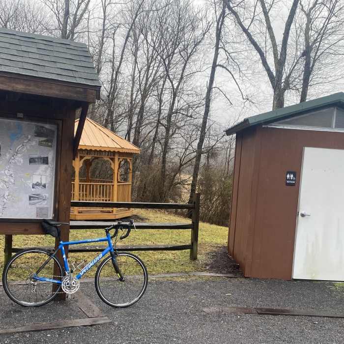
Intervale Trailhead with parking, restrooms and trail map
Near Jackson River Scenic Trail
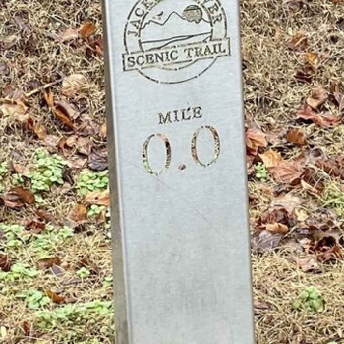
Clear mileage Markers (from intervale), there are also marathon, 5k and 10k markers.
Near Jackson River Scenic Trail
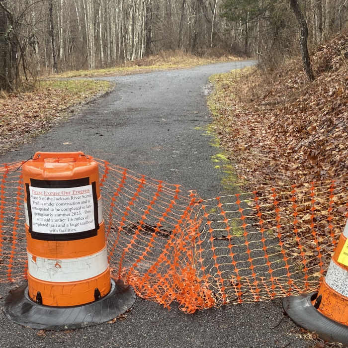
As of early 2024, the trail ends here. One sign says the trail extension should be completed in 2023, while the other clearly says no trespassing.

Looking for more photos?

View All Photos
Driving Directions
Hike Trail

Jackson River Scenic Trail

4.0 (1 Rating)
This trail leverages a former railroad bed that follows the Jackson River.
14.2
mi
Distance
242
ft
Gain
easy
Difficulty
BirdingRiver/CreekViews
Access Issues
Rail to trail with good drainage and fine gravel.

Route Details

Flatter
Steeper
14.18mi
Distance
242ft
Elevation Gain
65ft
Elevation Loss
10%
Max Grade
1,436ft
High Point
1,259ft
Low Point
Path Type
Point to Point
Description
This is a new and modern rail to trail. The trail and bridges are in excellent condition. The trail follows the river along a valley with nice views of the river, fields, streams and the surrounding mountains. Good access for canoe, kayak and tubing.

Route Conditions

Report Conditions
No Condition Reports
Report Conditions

Nearby Hike Routes

Blue Suck Falls Loop

Hike Route

Blue Suck Falls Loop

Fall Colors
moderate
8.66 mi
+2,032 ft
Beards Mountain Loop

Hike Route

Beards Mountain Loop

Fall Colors
moderate
6.2 mi
+1,509 ft
Fenwick Mines Recreation Area

Hike Route

Fenwick Mines Recreation Area

Family Friendly
moderate
1.34 mi
+56 ft
Sulphur Springs Price Mountain Loop

Hike Route

Sulphur Springs Price Mountain Loop

Views
strenuous
4.67 mi
+1,448 ft
Carvins Cove Route

Hike Route

Carvins Cove Route

Fall Colors
moderate
12.19 mi
+1,631 ft
Jump Rock Loop

Hike Route

Jump Rock Loop

Birding
strenuous
7.8 mi
+2,560 ft
Contributors
Christopher Rorden
