Ready to explore this trail?
View Trail Map in AppTioga Road east of Crane Flat and west of the Tioga Pass Entrance Station is closed in the winter and spring until the road is cleared of snow. You can check road conditions at www.nps.gov/yose/planyourvisit/conditions.htm or by dialing 1-209-372-0200, dialing extensions 1/1. Access in the winter can be obtained by rxhing up Snow Creek Trail and then to Indian Rock.
Path Type
Point to Point
The trailhead is most easily accessed by taking the North Dome Trail for 2.7 miles from the Porcupine Creek Trailhead on Tioga Road. Turn northeast (left) at the Indian Rock sign to begin climbing the trail.
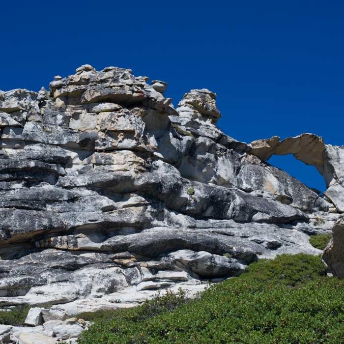
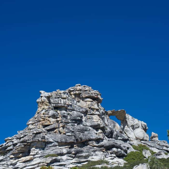
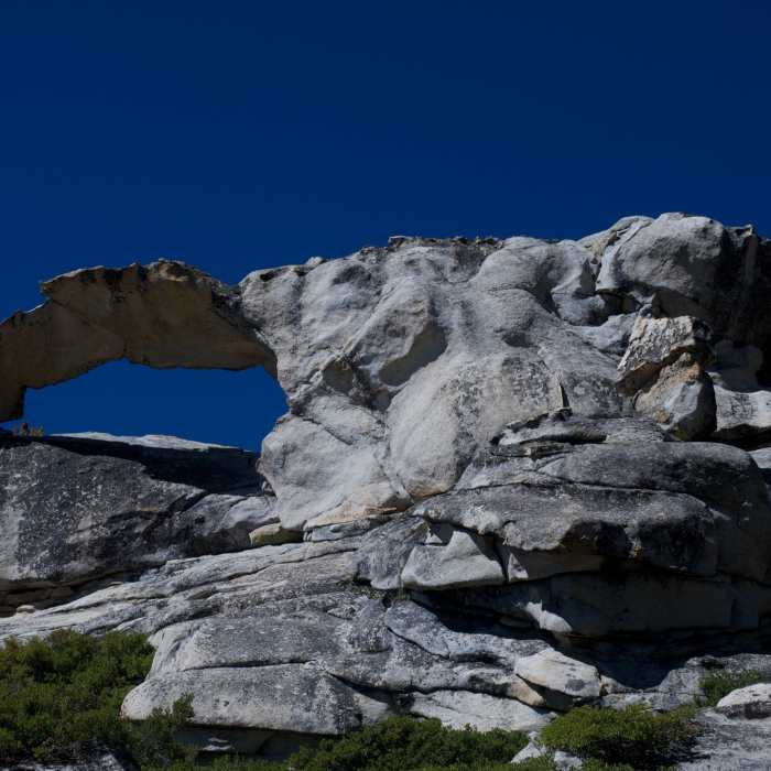
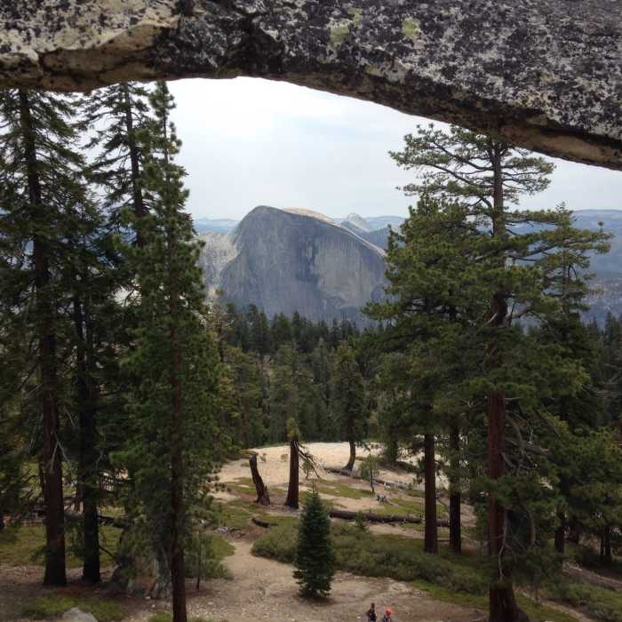
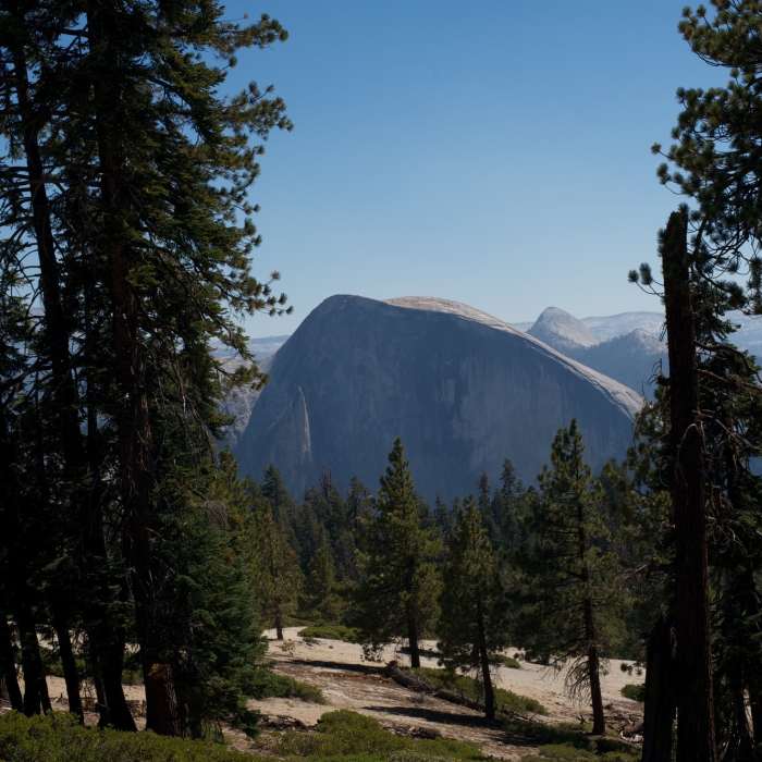
The trail climbs steeply for .3 miles to a high point on Indian Ridge where Indian Arch sits. This granite arch is a rarity in Yosemite, and is believed to be the only natural granite arch not only in the park, but in all of the Sierra Nevada. While sandstone arches are fairly common, granite arches like this are much more rare as the granite underneath the arch has to fall way instead of being eroded. The arch offers the opportunity to climb around and take in views of the surrounding area. Half Dome and Glacier Point are all viewable from this vantage point. It's about 20 feet wide, and 1.5 feet thick at it's thinnest point, so climbing on it isn't recommended. It's a great point to relax before either returning the North Dome Trail or continuing onto Indian Rock.
After you have finished climbing around, return to the trail and continue hiking about .5 a mile up Indian Ridge to it's north end where you'll find Indian Rock, a key point in the 1864 Yosemite Park boundary. The trail becomes more difficult as you go, with bushwhacking and scrambling being required to reach the summit, which is actually 2 small domes. Most people hike to the arch and then return to the North Dome Trail, so there won't be many people on the trail beyond the arch. Follow the same path back to the trailhead to return to your vehicle.
No Condition Reports
North Dome + Indian Rock Via Porcupine Creek Trailhead
North Dome + Indian Rock Via Porcupine Creek Trailhead
Contributors

