Ready to explore this trail?
View Trail Map in AppPath Type
Point to Point
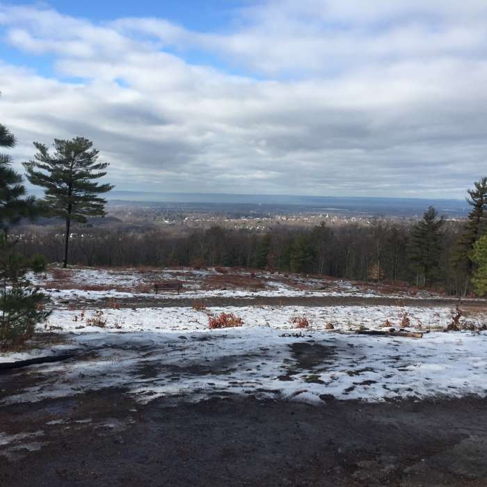
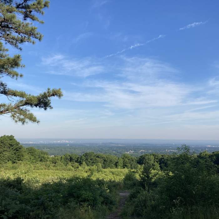
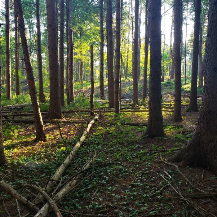
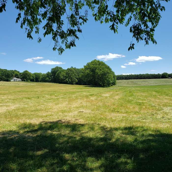
The Central portion of the trail begins near Rt 2 in Glasonbury. This portion of the trail leads over many rocky hills and over low stone walls that remain a reminder from when much of the land was cleared and cultivated.
There are portions of the trail that pop in and out of suburban areas including several road portions to relocate over highways etc. The trail crosses through Case Mountain and the Gay City State Park trail systems. The trail continues alongside several smaller bodies of water and often parallels some beautiful creeks before emerging at the Walker Reservoir in Vernon Ct.
No Condition Reports
Contributors

