Ready to explore this trail?
View Trail Map in AppThe first 17 miles of this 19.4 mile trail lie in the Heart Lake Bear Management Area and are closed April 1 through June 30.
Path Type
Point to Point
Heart Lake Trail has two sections. The 1st half -- trailhead to Heart Lake and along the lake's western shore comprises one of the best, most popular trails in the park. The 2nd half -- south from Heart Lake to the Snake River is seldom traveled.
The trail begins gently rising through lodgepole forests and occasional meadows. This area was partially burned in 1988. Lodgepoles have an unusual way of coping with fire. Besides their annual seed cones, they produce a special "serotinous cone," which only opens at 113 F, allowing the forest to reseed following fire.
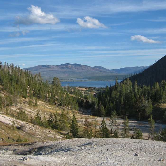
At the 4.5-mile mark, the trail breaks suddenly open and affords one of the most memorable vistas in all of Yellowstone. Hydrothermal activity is evident beneath you. As you peer down Witch Creek drainage, Heart Lake appears deceivingly close. In the next mile, the trail descends 500 feet through forests heavily burned by the 1988 fires.
At the 8-mile mark, the trail passes Heart Lake Ranger Station and reaches a junction with the Trail Creek Trail on the shores of Heart Lake. The Heart Lake Trail continues right (south) and follows the western shore. There are excellent campsites in the area.
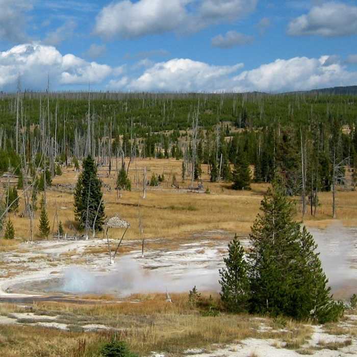
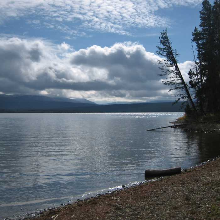
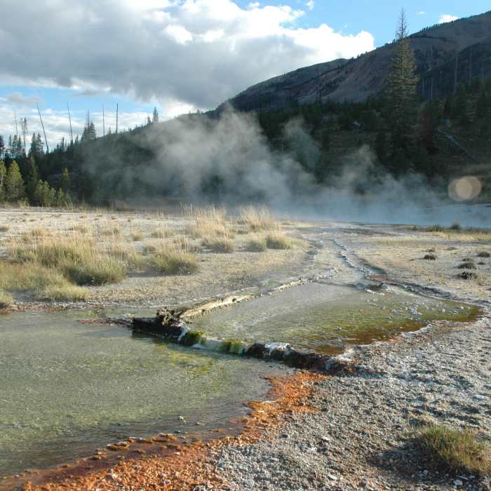
Heart Lake covers 2150 acres and has a depth of 180 feet. It has a healthy population of native cutthroat trout and large lake trout. Less than 0.5 miles past the trail junction a large thermal area is spotted across a small meadow. To avoid marshy areas continue south on the trail until you pass the springs and reach the trees. Then follow the tree line out.
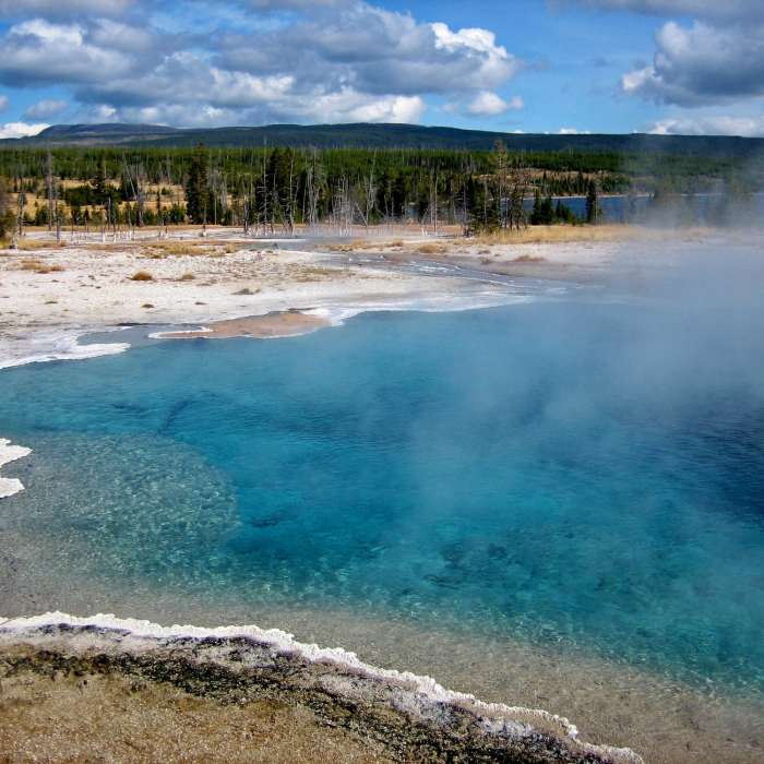
There are several geysers and a beautiful spring (Columbia Spring) in this group. Rustic Geyser, dormant since 1984, is the largest (25-to-30-foot) and most famous in Heart Lake Geyser Basin. Since 1984, the new star of the basin is Composite Geyser. Its 20-foot eruptions occur at intervals of 1 to 3 hours. Kickback and wait awhile. It's quite a thrill to have a geyser play just for you! A short distance beyond the geyser basin, the trail passes the Mount Sheridan Trail, then parallels the lake's western shore for several miles.
The 2nd half of the trail leaves Heart Lake, travels up and down, gradually descending 500 feet to the Snake River, passing Sheridan Lake at 11.5 mi., a junction with Basin Creek Cutoff Trail at 13 mi., and Basin Creek Lake at 14.5 mi. The final three miles of the trail follow Red Creek to its confluence with the Snake River. After fording the Snake, the trail terminates at a junction with the South Boundary Trail.
Thanks to guidebook author, Tom Carter, for sharing this trail description. To learn more about visiting Yellowstone, check out his book, Day Hiking Yellowstone.
No Condition Reports
Contributors

