Ready to explore this trail?
View Trail Map in AppWilderness permits are required for overnight stays and there are daily quotas. No campfires are allowed. East of Kearsarge Pass, dogs on leash are allowed.
Path Type
Point to Point
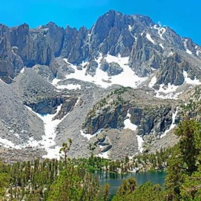
The Matlock Lake Trail leads to a small basin that contains Matlock Lake and several smaller lakes. From the junction with the Kearsarge Pass Trail, it is a short, easy hike to Matlock Lake, but reaching that junction requires a strenuous climb from 9200 feet in elevation to 10,500 feet. Matlock Lake makes a great destination for a day's hike, an overnight, or as a resting point when going over Kearsarge Pass. When I went, the Kearsarge Pass Trail was crowded with backpackers, fishermen, and day trippers, but I saw no one in the Matlock Lake basin.
The trail junction is where the Kearsarge Pass Trail comes closest to the creek that has just left Flower Lake. Flower Lake is not visible, but you can sense that it is only a short ways upstream. (Note for those continuing up to Kearsarge Pass: this is the last near-trail water available before the other side of the pass.)
The Matlock Lake Trail crosses the narrow creek via a flattened log and immediately passes a very pleasant campsite. The trail is well-maintained and easy as it continues over the low ridge to Matlock Lake. The basin also contains two smaller lakes and a couple of ponds packed fairly close together. A number of good campsites are scattered around.
The beautiful and hidden Bench Lake is up the rise to the west of Matlock Lake and about 330 feet higher. It can be reached via a moderately steep off-trail scramble.
No Condition Reports
Charlotte Lake
Charlotte Lake
Kings-Kern Divide Loop
Kings-Kern Divide Loop
Onion Valley to Matlock Lake
Onion Valley to Matlock Lake
Bullfrog Lake
Bullfrog Lake
Kearsarge Pass to South Lake
Kearsarge Pass to South Lake
Onion Valley to Roads End
Onion Valley to Roads End
Contributors

