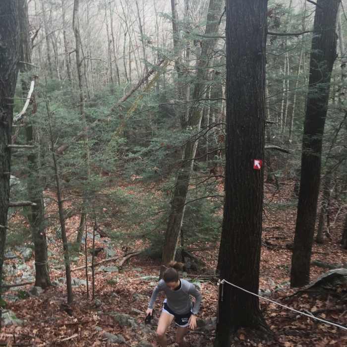
Near Red Trail
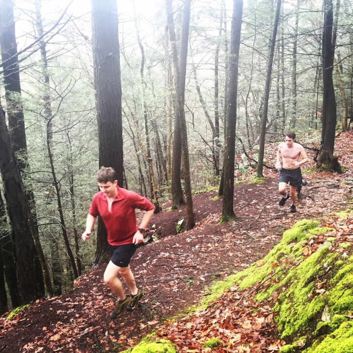
Fog and bright green moss found on the Red Trail.
Near Red Trail
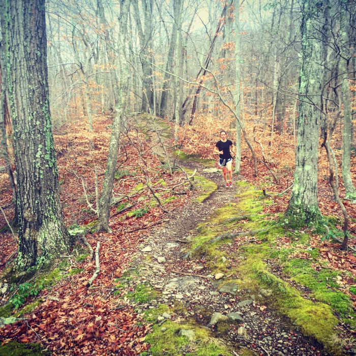
Mmmmmm... New England is nice.
Near Red Trail
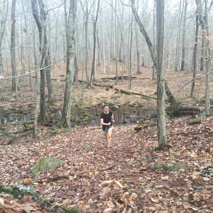
Rolling along Red Trail after a stream crossing.
Near Red Trail
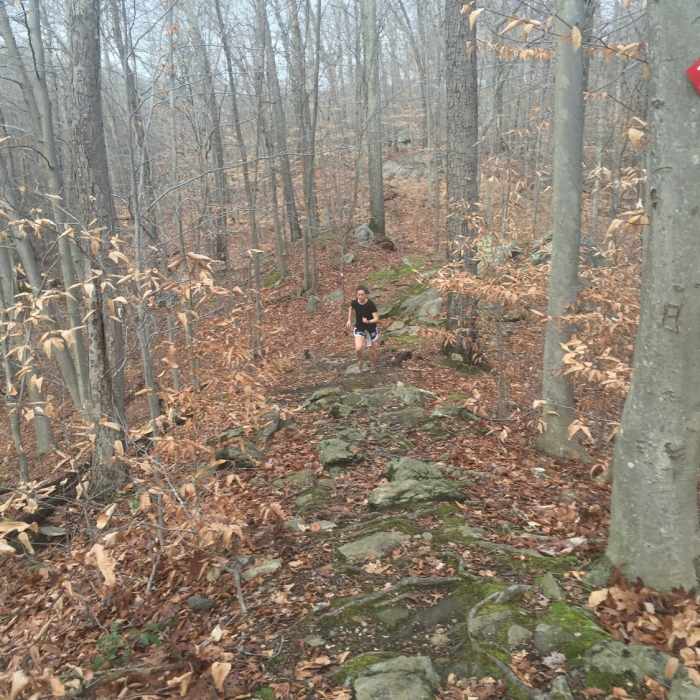
A particularly rocky ridgeline section of Red Trail.
Near Red Trail
The "rope assist" section of Red Trail is one of the Park's most difficult sections.

Looking for more photos?

View All Photos
Driving Directions
Hike Trail

Red Trail

4.8 (4 Ratings)
Undoubtedly the most technical and physically demanding trail in TBV.
2.5
mi
Distance
612
ft
Gain
strenuous
Difficulty
BirdingFall ColorsFamily FriendlyRiver/CreekViewsWildflowersWildlife

Route Details

Flatter
Steeper
2.5mi
Distance
612ft
Elevation Gain
338ft
Elevation Loss
25%
Max Grade
435ft
High Point
142ft
Low Point
Path Type
Point to Point
Description
From its start off of White Trail, Red Trail heads straight to the ridgeline. By way of doubletrack, then tight singletrack, the trail winds to its crux as difficulty as possible, it seems. As you amble over sharp, granitic boulders strewn across the trail, it turns sharply right, uphill, to a rope-assisted ascent. This root and rock-filled slope pitches steeply then mellows, allowing hikers to take a breath. From here, continue North as you skirt along the view-filled precipice. If you're lucky, you'll see some awesome rhododendron and mountain laurel alongside the views. The trail pitches upwards on one more tricky slope, then begins a very steep downward pitch. After this root/rock-filled extravaganza, the trail turns left, following Green Trail across a small stream on a wooden bridge. Even though the hardest parts of this trail are over, it doesn't mean the rest is easy... The trail turns left again, seemingly only for the purpose of cruelty, and enters another brutal climb. From the top the trail continues trending mostly uphill over the typical rocks and roots found in TBV. At its terminus, Red Trail meets White Trail.

Route Conditions

Report Conditions
Anonymous Adventurer
All Clear
Anonymous Adventurer
All Clear
Looking for more condition reports?
View History

Nearby Hike Routes

Godfrey Pond Loop

Hike Route

Godfrey Pond Loop

Birding
moderate
1.26 mi
+148 ft
Devils Den Nature Preserve Perimeter

Hike Route

Devils Den Nature Preserve Perimeter

River/Creek
moderate
7.94 mi
+822 ft
Pine Mountain

Hike Route

Pine Mountain

Birding
moderate
3.97 mi
+833 ft
Hemlock Hills

Hike Route

Hemlock Hills

Fall Colors
moderate
2.15 mi
+370 ft
Rock Trail (RT) Loop

Hike Route

Rock Trail (RT) Loop

Birding
strenuous
6.62 mi
+1,319 ft
Zoar Trail

Hike Route

Zoar Trail

Fall Colors
moderate
6.34 mi
+1,216 ft
Contributors
Tom Robson
