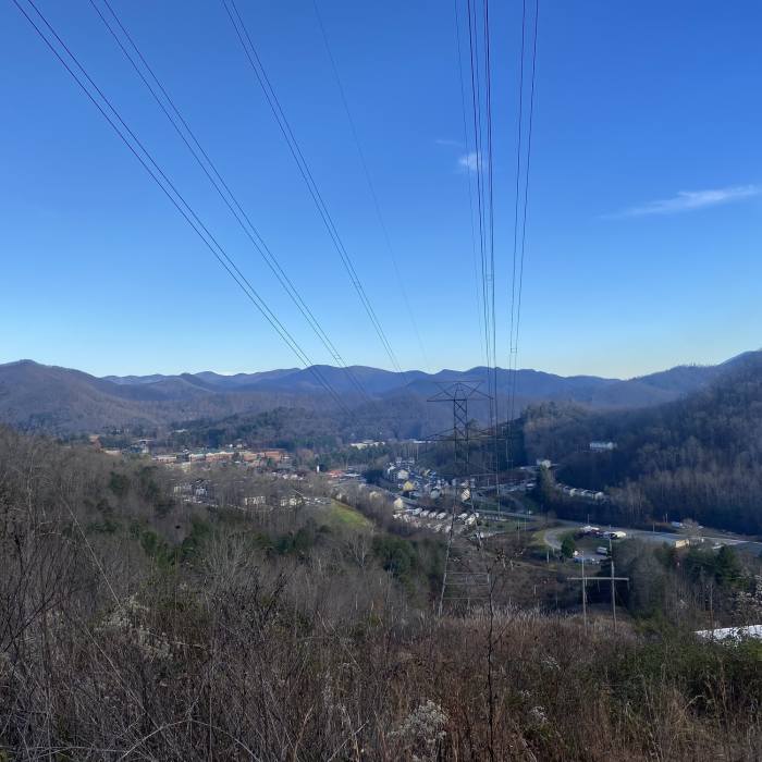
Near Lower Long Branch Loop
Scenic view from below the power lines on the Upper Long Branch Loop

Looking for more photos?

View All Photos
Driving Directions
Hike Trail

Lower Long Branch Loop

4.0 (1 Rating)
A nice switchbacking trail on the WCU Campus.
1.5
mi
Distance
406
ft
Gain
moderate
Difficulty
Access Issues
This is WCU property, so all WCU policies apply.

Route Details

Flatter
Steeper
1.48mi
Distance
406ft
Elevation Gain
312ft
Elevation Loss
35%
Max Grade
2,561ft
High Point
2,224ft
Low Point
Path Type
Point to Point
Description
The trail starts by descending through the trees and under the power lines from the Upper Long Branch Loop and Little Savannah Connector intersection. A slight rise and another descent bring the straight forward path to a steady climb that switchbacks through the trees to end at the other end of the Upper Long Branch Loop and the intersection with the Cullowhee Connector. Click here for a map of the whole WCU trail system.

Route Conditions

Report Conditions
No Condition Reports
Report Conditions

Nearby Hike Routes

WCU Trail System - Every Trail

Hike Route

WCU Trail System - Every Trail

Fall Colors
moderate
8.61 mi
+2,045 ft
Pinnacle Park Tour

Hike Route

Pinnacle Park Tour

Birding
strenuous
11.85 mi
+4,439 ft
West Fork - East Fork loop

Hike Route

West Fork - East Fork loop

strenuous
4.75 mi
+1,960 ft
High Line Loop

Hike Route

High Line Loop

Birding
strenuous
13.16 mi
+2,904 ft
Waterrock Knob

Hike Route

Waterrock Knob

Fall Colors
strenuous
1.02 mi
+459 ft
Grassy Ridge Mine Overlook (MST Section)

Hike Route

Grassy Ridge Mine Overlook (MST Section)

Birding
moderate
2.41 mi
+277 ft
Contributors
Adam Bock
