Near Watershed Trail
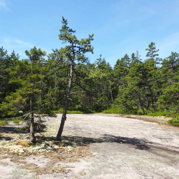
At the peak of the trail
Near Watershed Trail
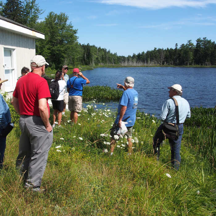
Bird watching at Folly Pond
Near Watershed Trail
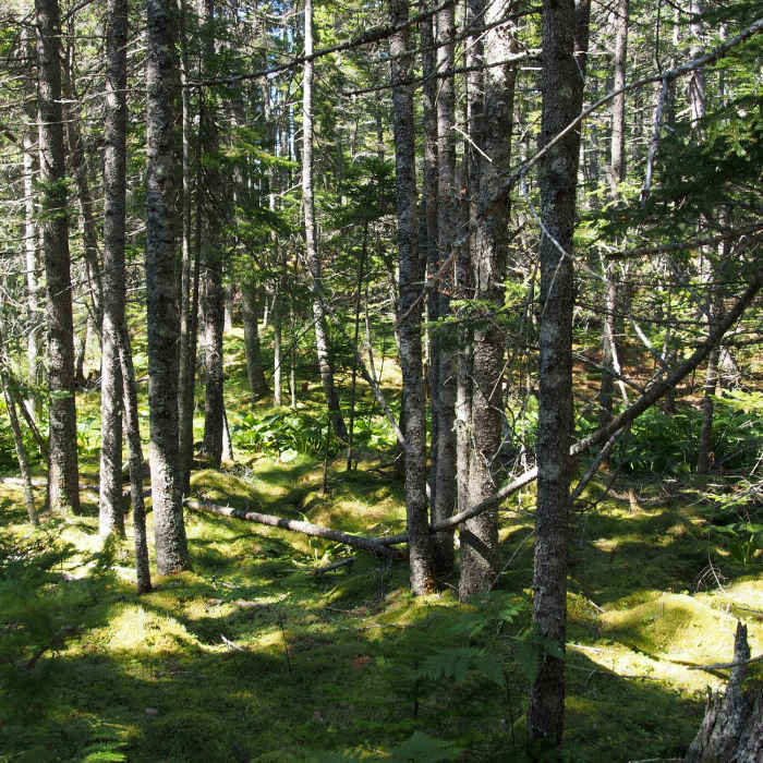
Path through the woods
Near Watershed Trail
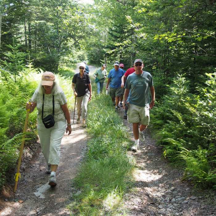
On the trail

Looking for more photos?

View All Photos
View Map
Driving Directions
Hike Trail

Watershed Trail

4.0 (1 Rating)
One out-and-back with a loop section; total distance about 1.5 miles.
1
mi
Distance
136
ft
Gain
moderate
Difficulty
BirdingWildflowersWildlife
Access Issues
Some of the healthiest insect populations on the island are found here; many hikers will want to use repellents here from mid-May through early July. Because this preserve is surrounded by large tracts of forest land, people or pets who wander off-trail can easily lose their bearings. The blue blazing and tape is the waterline, please do not follow these markings, it is NOT the trail.

Route Details

Flatter
Steeper
1.03mi
Distance
136ft
Elevation Gain
127ft
Elevation Loss
20%
Max Grade
170ft
High Point
36ft
Low Point
Path Type
Point to Point
Description
One out-and-back with a loop section; total distance about 1.5 miles. The four forest types are marked with signs which describe the different components of each one, with photos. The four forest types are: maritime spruce-fir forest, red maple alluvial swamp, pitch pine woodland, and spruce fir-cinnamon fern forest.

Route Conditions

Report Conditions
No Condition Reports
Report Conditions

Nearby Hike Routes

Mount Megunticook Out and Back

Hike Route

Mount Megunticook Out and Back

Fall Colors
moderate
3.43 mi
+1,099 ft
Bald Rock Mountain Loop

Hike Route

Bald Rock Mountain Loop

Fall Colors
strenuous
3.18 mi
+838 ft
Long Island Loop

Hike Route

Long Island Loop

Birding
moderate
5.33 mi
+320 ft
Blue Hill Up and Over

Hike Route

Blue Hill Up and Over

Swimming
strenuous
6.53 mi
+1,473 ft
Ship Harbor Trail

Hike Route

Ship Harbor Trail

Family Friendly
easy
1.35 mi
+74 ft
Wonderland Trail

Hike Route

Wonderland Trail

Birding
easy
1.31 mi
+74 ft
Contributors
Norbert Leser
