


Ready to explore this trail?
View Trail Map in AppCottonwood Pass closes below the TH, at Denny Creek TH, in the winter.
Dogs must remain on-leash on the trail, and owners must pack out all dog waste.
Path Type
Point to Point
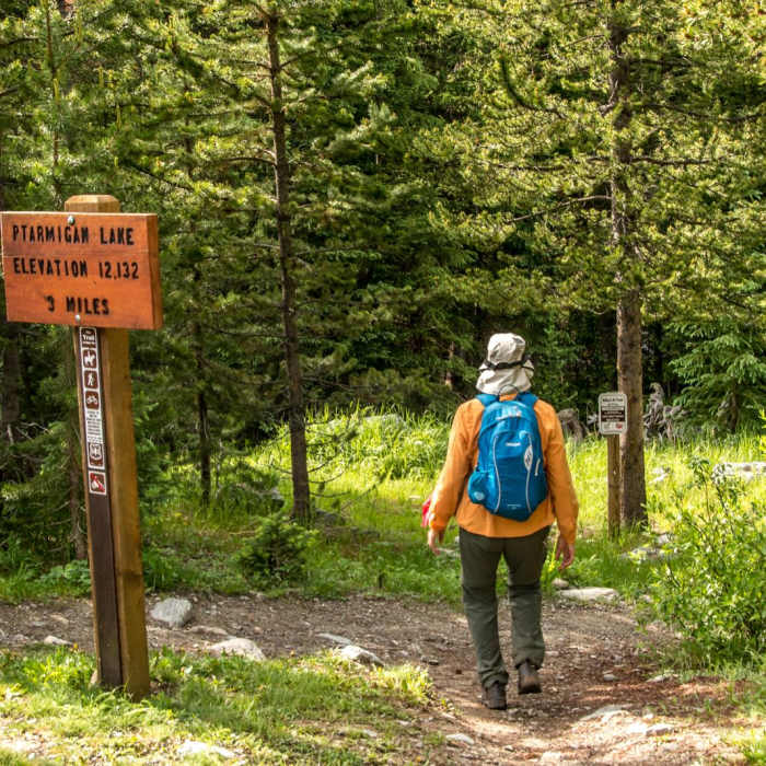
The Ptarmigan Lake Trail #1444 is a classic high-alpine hike located in the Sawatch Range near Buena Vista, Colorado. Starting from Cottonwood Pass Road at an elevation of approximately 10,668 feet, the trail climbs steadily through a total elevation gain of 1,615 feet to reach the pristine alpine waters of Ptarmigan Lake at 12,284 feet.
The first portion of the hike winds through a dense spruce forest, following the path of Cottonwood and Ptarmigan Creeks. The trail eventually breaks through the treeline into scenic open basins filled with rolling meadows, small ponds, and flowing streams. The final ascent into the Ptarmigan Lake basin is steep but rewards hikers with expansive, panoramic views of the surrounding Collegiate Peaks.
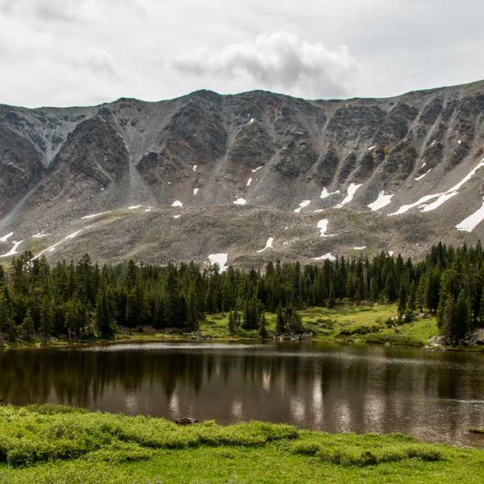
Directly beneath the slopes of Jones Mountain, Ptarmigan Lake is a popular destination for fishing, known for its clear waters and resident cutthroat trout. During the summer months, the surrounding basin is lush with wildflowers, though insect repellent is highly recommended to manage the seasonal mosquito population. Several backcountry campsites are scattered near the lake, with a particularly good option located on a small ledge lake just below the main outlet stream.
From the lake, hikers can continue along the trail to gain the saddle between Jones Mountain and the Gladstone Ridge for expansive views.
No Condition Reports
Contributors

