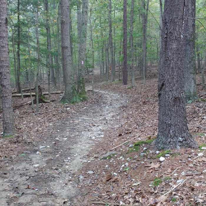
Near Big Oak Trail
Tulip Poplar Trail traverses beautiful hardwood forests under a blanket of fallen leaves.

Looking for more photos?

View All Photos
Driving Directions
Hike Trail

Big Oak Trail

4.0 (1 Rating)
A wide, relatively smooth, undulating trail with hills at each end.
1.6
mi
Distance
100
ft
Gain
moderate
Difficulty
Family Friendly
Access Issues
Hike, bike, and horseback permitted.

Route Details

Flatter
Steeper
1.6mi
Distance
100ft
Elevation Gain
219ft
Elevation Loss
15%
Max Grade
756ft
High Point
569ft
Low Point
Path Type
Point to Point
Description
Big Oak Trail is a wide trail with a gazzillion intersections and no true intuitive feel as to which way it goes at intersections. The blaze system is well-marked though and will help you navigate. I usually do not ride this trail straight through but more as parts of other loops. Most of the trail would rate as easy, but both the north and south end have a fair amount of elevation change so I bump my rating up one for this. The southern portion between Bear Bottom Loop Trail and Redtail Ridge Trail is the hilliest and is more reminiscent of Bear Bottom Loop Trail. The section between Redtail Ridge Trail and Tulip Poplar Trail is smooth and wide with small undulations. There is a new connector trail off of this portion to the cabins. This section would be great for kids (that have mastered control). The two intersections at Tulip Poplar Trail and Redtail Ridge Trail can be confusing so pay attention to blazes carefully in this section. You can only go so far off track but the confusion can be aggravating.

Route Conditions

Report Conditions
No Condition Reports
Report Conditions

Nearby Hike Routes

Overall Run Falls via Thompson Hollow

Hike Route

Overall Run Falls via Thompson Hollow

Less Crowded
strenuous
6.76 mi
+1,774 ft
Shawls Gap to High Peak

Hike Route

Shawls Gap to High Peak

Birding
moderate
7.93 mi
+1,813 ft
Overall Run Falls

Hike Route

Overall Run Falls

River/Creek
moderate
3.53 mi
+676 ft
Overall Run Falls

Hike Route

Overall Run Falls

Views
easy
2.53 mi
+243 ft
Tuscarora to Toms Brook: Shenandoah and GW

Hike Route

Tuscarora to Toms Brook: Shenandoah and GW

Waterfall
strenuous
54.46 mi
+11,835 ft
Bear Wallow-Massanutten Trail Loop

Hike Route

Bear Wallow-Massanutten Trail Loop

Birding
strenuous
8.24 mi
+1,754 ft
Contributors
Hiking Project Staff
