Near Cliff Trail
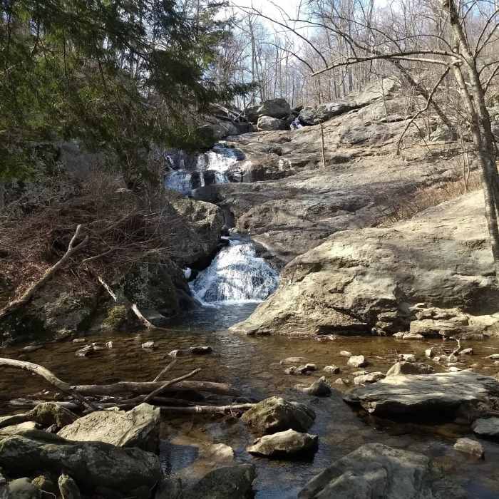
Overlook view of Cunningham Falls
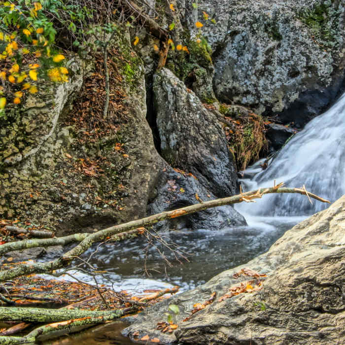
Near Cliff Trail
Cunningham Falls
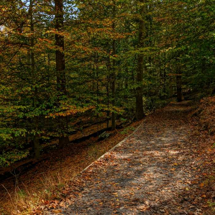
Near Cliff Trail
DSC04907
Near Cliff Trail
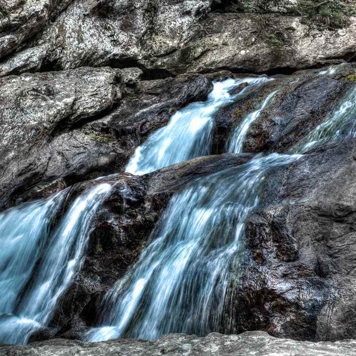
Cunningham Falls.
Near Cliff Trail
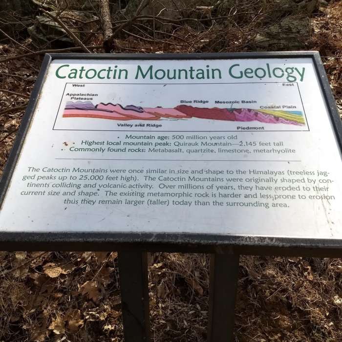
Interpretive signage along Lower Falls Trail

Looking for more photos?

View All Photos
View Map
Driving Directions
Hike Trail

Cliff Trail

4.0 (6 Ratings)
This is a more challenging way to reach the falls.
0.7
mi
Distance
252
ft
Gain
moderate
Difficulty
ViewsWaterfallWildlife
Access Issues
This trail is open sunrise to sunset.

Route Details

Flatter
Steeper
0.71mi
Distance
252ft
Elevation Gain
152ft
Elevation Loss
30%
Max Grade
1,333ft
High Point
1,084ft
Low Point
Path Type
Point to Point
Description
This trail starts at the same parking lot and trailhead as the Lower Falls Trail but is a more challenging route to take. This is a natural surface trail with rough terrain, including a strenuous hike up the cliff with rock outcrops and some scrambling. The trail leads back down to the Cunningham Falls overlook, which offers stunning views that are worth the climb. You can return the way you came or take a break and head back on the Lower Falls Trail.

Route Conditions

Report Conditions
No Condition Reports
Report Conditions

Nearby Hike Routes

Cunningham Falls Out-and-Back

Hike Route

Cunningham Falls Out-and-Back

ADA Accessible
easy
1.2 mi
+160 ft
Cat Rock Mountain via Old Misery Trail

Hike Route

Cat Rock Mountain via Old Misery Trail

Lake
easy
1.47 mi
+669 ft
Wolf Rock / Chimney Rock Loop

Hike Route

Wolf Rock / Chimney Rock Loop

Fall Colors
moderate
3.67 mi
+848 ft
Hog Rock

Hike Route

Hog Rock

Views
moderate
4.6 mi
+999 ft
Blue Ridge Summit - Thurmont - Wolf Rock

Hike Route

Blue Ridge Summit - Thurmont - Wolf Rock

Birding
strenuous
4.62 mi
+1,012 ft
Appalachian Trail: Wolfsville Road to Pen Mar Park

Hike Route

Appalachian Trail: Wolfsville Road to Pen Mar Park

Birding
strenuous
9.49 mi
+1,841 ft
Contributors
Cheryl Ladota
