Ready to explore this trail?
View Trail Map in AppPath Type
Point to Point
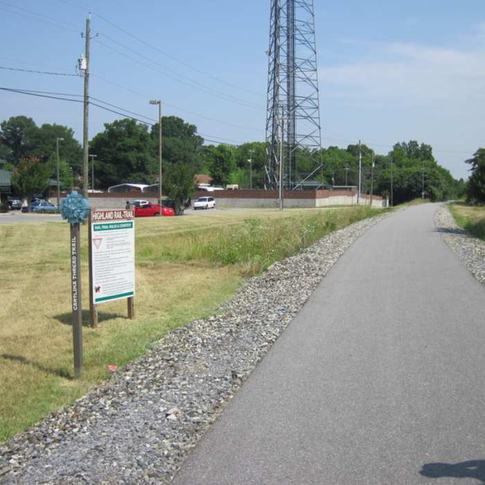
The Carolina Thread Trail sign at the intersection of Broad Street and Long Avenue marks the southern trailhead for Highland Rail Trail. There is a Gaston County Zagster Bike Share station at this trailhead. From the intersection of Broad Street and Long Avenue, the trail continues north through an industrial area for approximately 0.6 miles before a street crossing at Dr. M.L.K Jr. Way.
After this street crossing, the trail continues again for approximately 0.4 miles in an industrial and residential area before another street crossing at Sycamore Avenue. The trail then provides a connection to Sims Legion Park Baseball Fields. The trail goes under I-85 and then continues for approximately 0.1 miles and connects to a short gravel path leading to Rankin Lake Road.
Parking is available near the southern trailhead at the Gastonia Police Department (200 E Long Ave, Gastonia, NC 28052). Additional parking is also available throughout downtown Gastonia. Parking is available near the northern end at Sims Legion Park (1201 Dr. M.L.K. Jr. Way).
No Condition Reports
Contributors

