
Near River Trail
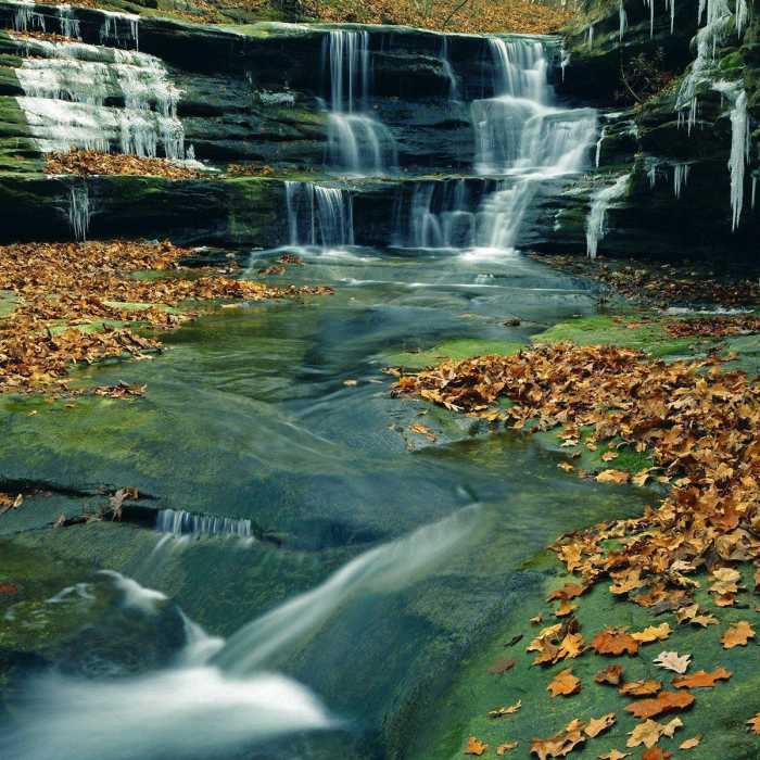
Waterfall leading down the canyon.
Near River Trail
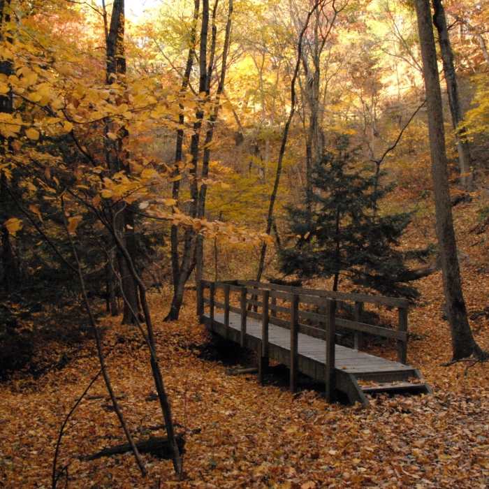
Bridge leading over a small creek.
Near River Trail
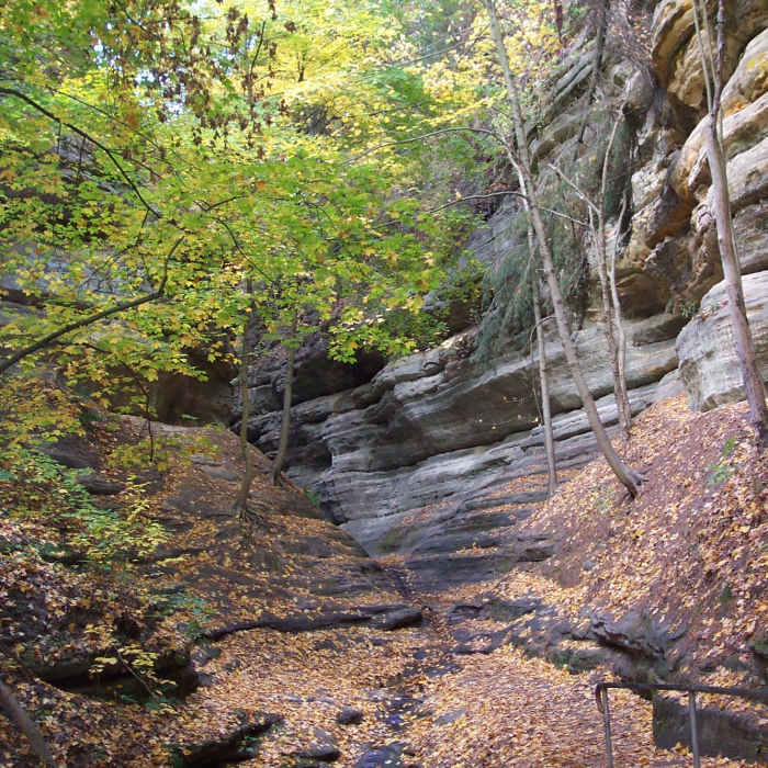
Sitting on the edge.
Near River Trail
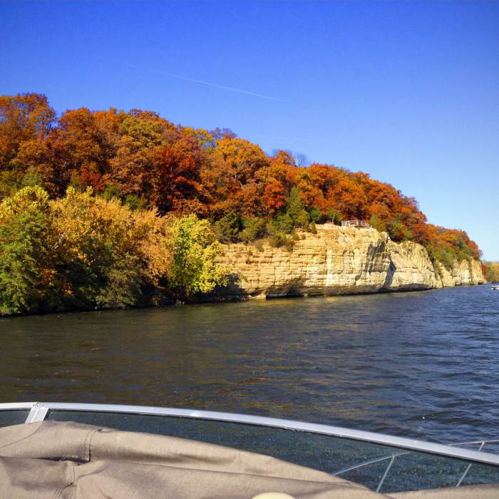
River Overlook.
Near River Trail
Starved Rock State Park

Looking for more photos?

View All Photos
View Map
Driving Directions
Hike Trail

River Trail

4.3 (3 Ratings)
A scenic trail along the Illinois River and its many canyons.
1.8
mi
Distance
39
ft
Gain
easy
Difficulty
BirdingFall ColorsRiver/CreekViewsWaterfallWildlife

Route Details

Flatter
Steeper
1.79mi
Distance
39ft
Elevation Gain
129ft
Elevation Loss
25%
Max Grade
568ft
High Point
459ft
Low Point
Path Type
Point to Point
Description
Leaving from the visitors center, this trail follows the river fairly close and gives access to many canyons and waterfalls along the way. The trail follows the Illinois River through the entirety of the park, and you'll never be far from the water's edge.

Route Conditions

Report Conditions
Anonymous Adventurer
All Clear
Anonymous Adventurer
All Clear
Anonymous Adventurer
All Clear
Anonymous Adventurer
Some Issues
Looking for more condition reports?
View History

Nearby Hike Routes

Starved Rock Loop

Hike Route

Starved Rock Loop

Birding
moderate
4.75 mi
+734 ft
French Canyon

Hike Route

French Canyon

Views
easy
1.48 mi
+145 ft
Starved Rock Trail

Hike Route

Starved Rock Trail

Views
easy
0.67 mi
+160 ft
Wildcat Canyon Trail

Hike Route

Wildcat Canyon Trail

Views
easy
2.55 mi
+344 ft
Matthiessen State Park Loop

Hike Route

Matthiessen State Park Loop

Birding
moderate
2.89 mi
+487 ft
Prairie Creek Woods Trail

Hike Route

Prairie Creek Woods Trail

Birding
easy
1.63 mi
+14 ft
Contributors
Asher Margolies
