
Ready to explore this trail?
View Trail Map in AppPath Type
Point to Point
Originally called the Bear Brook Trail back in the late 1800s, this path was one of the area's first trails; it even existed before Acadia became a national park. It is only 1.0 miles long, but it's a fairly steep trail scaling roughly 900 feet from the mountain's north parking lot to its summit.
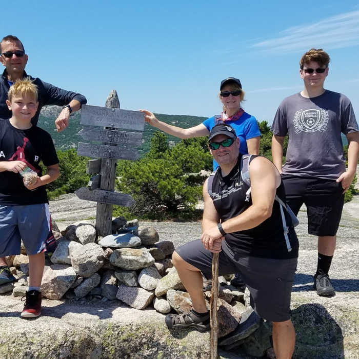
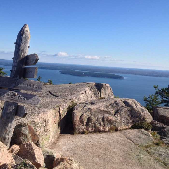
The Champlain Ridge trails split into the north and south sections of the path at the top of the mountain. That's where they intersect with the Beechcroft Path coming in from the northwest and the famous Precipice Trail joining up from the southeast. You can also hop onto the Orange & Black Path at only 0.4 miles into your journey, if you like. So you have a lot of options to extend your hike by the time you've technically reached the "end" of this trail at the summit, should you not want to merely return to the parking lot. Notably, you can hike this trail in either direction. It's not nearly as steep and precarious as some of Champlain's other trails, so it easily lends itself to 2-way traffic.
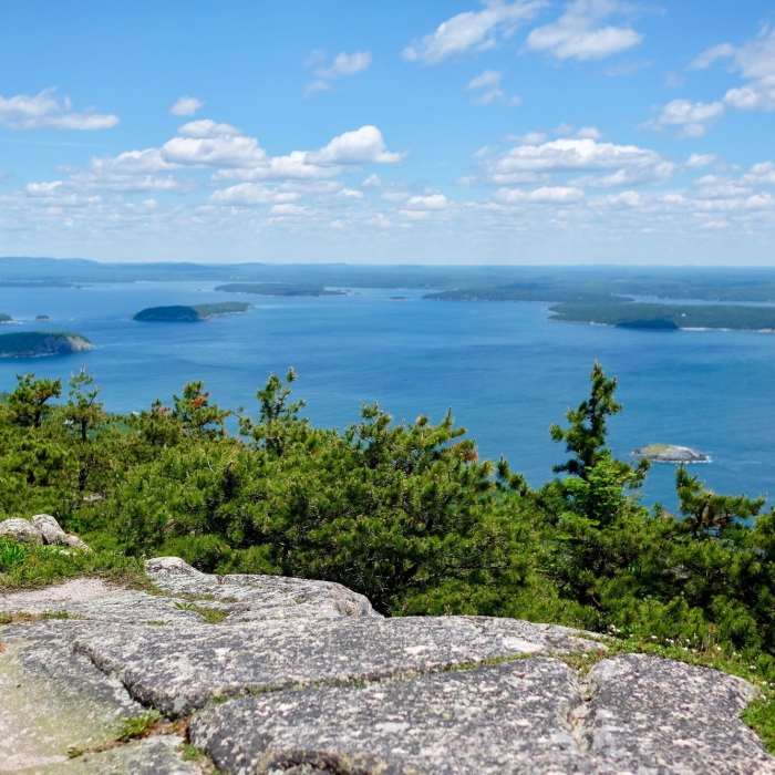
In essence, the hike up the Champlain North Ridge alternates between covered and exposed areas. You'll mainly navigate you way up and around granite and pines most of the way, and in the open areas, you'll catch some glimpses of Frenchman Bay. Be sure to follow the carefully constructed cairns to guide you through the open areas, and ignore the extra rock piles that some have thoughtlessly placed along the way--those "false" cairns sometimes confuse hikers. Then, when you finally summit, you'll get some extensive views of the Atlantic, Schoodic Peninsula, the Porcupine Islands, and even Bar Harbor, not to mention several other classic and picturesque landmarks. Hiking this older trail offers some people a historic perspective about what the area's early inhabitants and tourists might have felt and experienced when they were exploring Mount Desert Island long before Acadia became one of the national park system's gems.
No Condition Reports
Contributors

